Pic de Bure

Gallery (1)
Map
Map
Facts and practical information
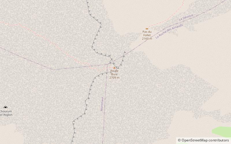
Pic de Bure is a prominent mountain of the Dauphiné Alps in France, culminating at a height of 2,709 m, the third highest peak of the Dévoluy Mountains. The Plateau de Bure Interferometer is located on its slopes. ()
Location
Provence-Alpes-Côte d'Azur
ContactAdd
Social media
Add
Day trips


