Rocher Rond
Map

Map

Facts and practical information
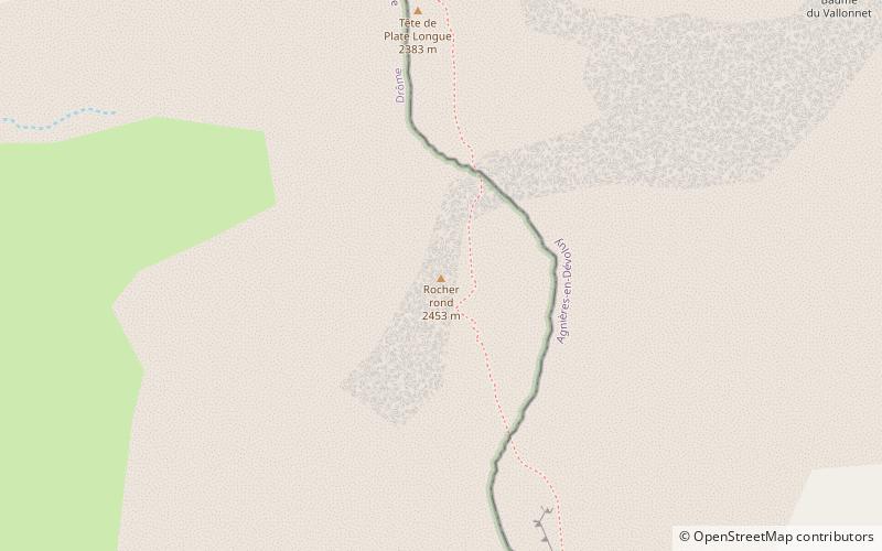
The Rocher Rond is a summit in the Dévoluy massif of the French Alps. It is the highest point of the Vercors Regional Natural Park, although it is not part of the Vercors massif, and also the highest point in the department of Drôme. It has an elevation of 2453 metres, and an isolation of 8.77 km. It is the 14th highest French department highpoint. ()
Location
Auvergne-Rhône-Alpes
ContactAdd
Social media
Add
Day trips
Rocher Rond – popular in the area (distance from the attraction)
Nearby attractions include: SuperDévoluy, Pic de Bure, Northern Extended Millimeter Array, Grande Tête de l'Obiou.


