Ceintures de Lyon, Lyon
Map
Facts and practical information
The ceintures de Lyon were a series of fortifications built between 1830 and 1890 around the city of Lyon, France, to protect the city from foreign invasion. ()
Address
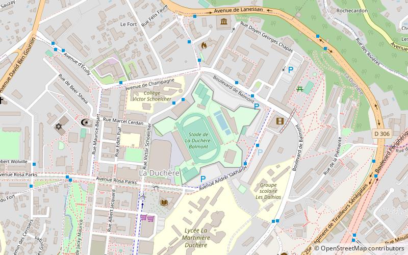
Arrondissement 9E (La Duchère)Lyon
ContactAdd
Social media
Add
Getting there by public transportation
Public transportation stops near this location
- Metro
- Bus
- Trolleybus
- Train
- Ferry
 Metro
Metro
- Calculate routeDuchère Piscine 3 min walk
- Calculate routeDuchère Piscine 3 min walk
- Calculate routeDuchère Balmont 3 min walk
- Calculate routeDuchère Avenue de Champagne 4 min walk
- Calculate routeLyon-Vaise 16 min walk
- Calculate routeGare de Vaise 16 min walk
- Calculate routeValmy 26 min walk
- Calculate routeVaise 30 min walk
Maps Metro
Metro
MetroDay trips


Frequently Asked Questions (FAQ)
Which popular attractions are close to Ceintures de Lyon?
Nearby attractions include Fort Duchère, Lyon (4 min walk), 9th arrondissement of Lyon, Lyon (20 min walk), Vaise, Lyon (21 min walk).
How to get to Ceintures de Lyon by public transport?
The nearest stations to Ceintures de Lyon:
Trolleybus
Bus
Train
Metro
Ferry
Trolleybus
- Duchère Piscine • Lines: C14 (3 min walk)
Bus
- Duchère Piscine • Lines: 66, C6 (3 min walk)
- Duchère Balmont • Lines: 115, 118, 21, 61, 66, 89 (3 min walk)
Train
- Lyon-Vaise (16 min walk)
Metro
- Gare de Vaise • Lines: D (16 min walk)
- Valmy • Lines: D (26 min walk)
Ferry
- Vaise • Lines: Vaporetto (30 min walk)