Pic de l'Infern

Gallery (1)
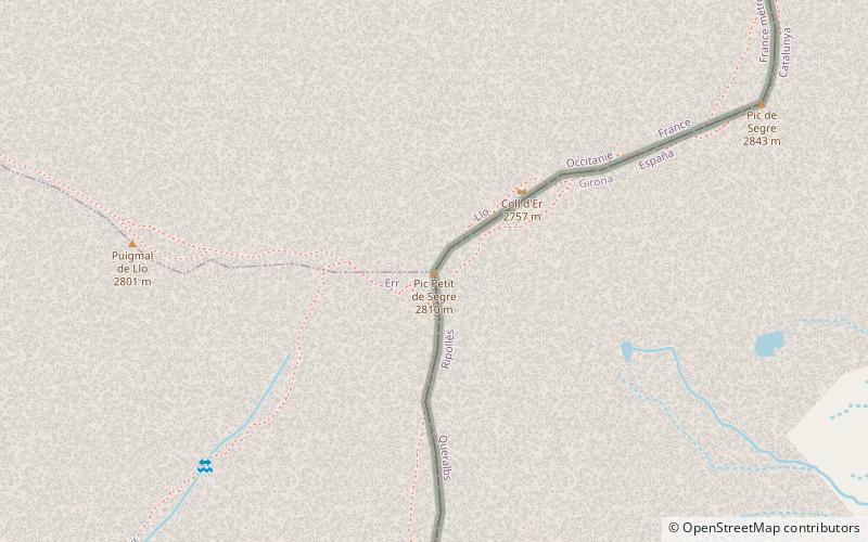
Map
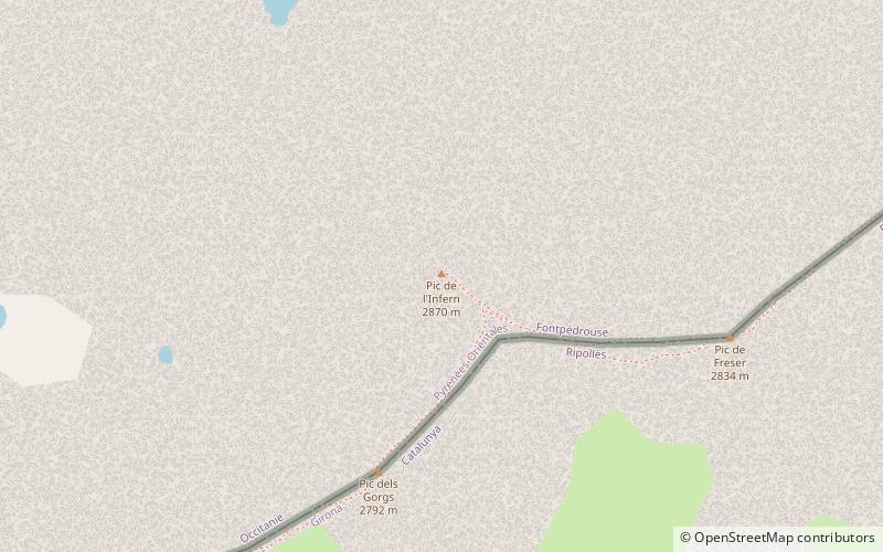
Map
Facts and practical information
Pic de l'Infern is a mountain of Catalonia, Spain. Located in the Pyrenees, it has an elevation of 2,859 metres above sea level. ()
Elevation: 9380 ftCoordinates: 42°25'26"N, 2°12'49"E
Location
Occitanie
ContactAdd
Social media
Add
Day trips