L'Alignement du XXIe siècle, Rennes
Map

Map

Facts and practical information
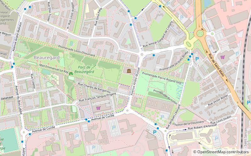
The Alignment of the XXIst Century is a work conceived by the artist Aurélie Nemours, erected in 2005 and inaugurated in 2006, within the new district of Beauregard in the north west of Rennes, at the edge of the Beauregard park. It consists of an alignment of monumental columns.
Coordinates: 48°7'50"N, 1°41'46"W
Address
Villejean Beauregard (Beauregard)Rennes
ContactAdd
Social media
Add
Day trips
L'Alignement du XXIe siècle – popular in the area (distance from the attraction)
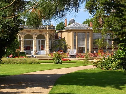
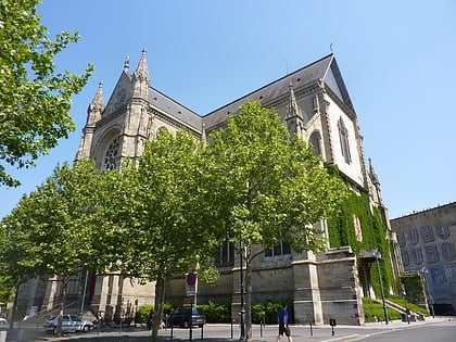
Nearby attractions include: Parc du Thabor, Église Saint-Aubin en Notre-Dame-de-Bonne-Nouvelle, Fonds régional d’art contemporain Bretagne, Cimetière du Nord.
Frequently Asked Questions (FAQ)
Which popular attractions are close to L'Alignement du XXIe siècle?
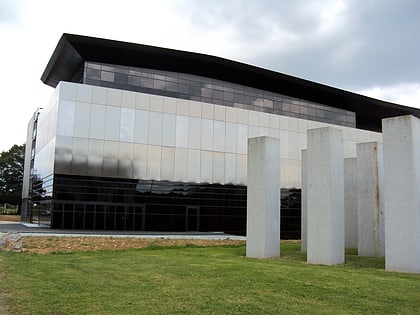
Nearby attractions include Fonds régional d’art contemporain Bretagne, Rennes (1 min walk), Frac Bretagne, Rennes (1 min walk), Galerie d'art & Essai, Rennes (19 min walk), Cimetière du Nord, Rennes (22 min walk).
How to get to L'Alignement du XXIe siècle by public transport?
The nearest stations to L'Alignement du XXIe siècle:
Bus
Metro
Train
Bus
- Cucillé - Frac • Lines: 14, C4 (5 min walk)
- Dulac • Lines: 12, C4 (5 min walk)
Metro
- Pontchaillou • Lines: a (17 min walk)
- Villejean - Université • Lines: a (19 min walk)
Train
- Pontchaillou (22 min walk)


