Albert I Garden, Nice
Map

Map

Facts and practical information
The Albert-Ier garden is one of the oldest public gardens in Nice.
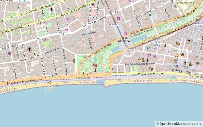
It is enclosed in a perimeter formed by the Avenue des Phocéens, the Place Masséna, the Avenue de Verdun and the Promenade des Anglais. As it expanded, it was successively named the Paradiso Garden, the Jardin des Plantes, the Masséna Garden, the Palm Garden and, in 1914, the Albert Ier Garden, King of the Belgians, in honor of his courageous stand against Germany.
Coordinates: 43°41'45"N, 7°16'6"E
Address
Medecin (Place Masséna)Nice
ContactAdd
Social media
Add
Day trips
Albert I Garden – popular in the area (distance from the attraction)
Nearby attractions include: MAMAC, Palais Lascaris, Castle of Nice, Place Masséna.
Frequently Asked Questions (FAQ)
Which popular attractions are close to Albert I Garden?
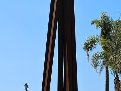
Nearby attractions include Fontaine des Tritons, Nice (1 min walk), Sylvan Theater, Nice (1 min walk), Place Masséna, Nice (4 min walk), Neuf Lignes Obliques, Nice (4 min walk).
How to get to Albert I Garden by public transport?
The nearest stations to Albert I Garden:
Bus
Tram
Train
Ferry
Bus
- Albert 1er / Phocéens • Lines: 12, 230A, Ncv (2 min walk)
- Albert 1er / Verdun • Lines: 12, 230A, Exp3 (2 min walk)
Tram
- Masséna • Lines: 1 (5 min walk)
- Opéra - Vieille Ville • Lines: 1 (7 min walk)
Train
- Nice-Ville (18 min walk)
- Nice - CP (26 min walk)
Ferry
- Nice Ferry Terminal (22 min walk)


