Trek Zone

Er Lannic, Gavrinis

#1 among attractions in Gavrinis

Protected area
Er Lannic location map
Map

Facts and practical information
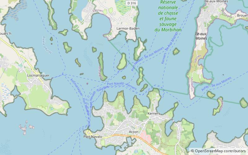
Alternative names: Area: 9.11 acres (0.0142 mi²)Coordinates: 47°34'5"N, 2°53'49"W
Address

Gavrinis France

ContactAdd
Social media
Add
Day trips

Er Lannic – popular in the area (distance from the attraction)

Nearby attractions include: Locmariaquer megaliths, Port du Crouesty, Le Vieux Pont Suspendu, Abbaye Saint-Gildas-de-Rhuys.

  • locmariaquer megaliths2.5 miW
  • port du crouesty arzon1.7 miS
  • le vieux pont suspendu bono5.7 miNW
  • abbaye saint gildas de rhuys5.4 miSE
  • gulf of morbihan5 miNE
  • eglise de la nativite ile darz4.7 miE
  • phare de port navalo1.7 miSW
  • church of our lady locmariaquer2.2 miW
  • cairn de gavrinis~1430 ftN
  • chapelle notre dame de becquerel plougoumelen5.4 miN
  • ile aux moines3 miNE

Where to next? Visit brittany Brittany region page or discover the top tourist attractions in France.