Le Monastère, Rodez
Map
Facts and practical information
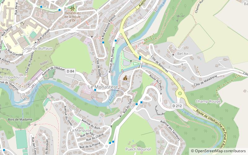
Le Monastère is a commune in the Aveyron department in southern France. ()
Address
Rodez
ContactAdd
Social media
Add
Getting there by public transportation
Public transportation stops near this location
- Bus
 Bus
Bus
- Calculate routeLes 4 Rives 3 min walk
- Calculate routeLes Meuniers 3 min walk
- Calculate routeÉglise 3 min walk
Day trips


Frequently Asked Questions (FAQ)
Which popular attractions are close to Le Monastère?
Nearby attractions include Église Saint-Amans, Rodez (11 min walk), Musée Denys-Puech, Rodez (11 min walk), Musée Fenaille, Rodez (12 min walk), Rodez Cathedral, Rodez (16 min walk).
How to get to Le Monastère by public transport?
The nearest stations to Le Monastère:
Bus
Bus
- Les 4 Rives • Lines: H (3 min walk)
- Les Meuniers • Lines: H (3 min walk)