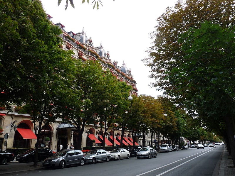
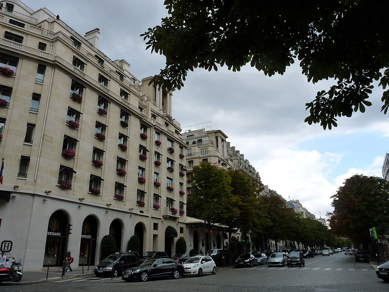
Rue Pierre Charron, Paris

Gallery (1)
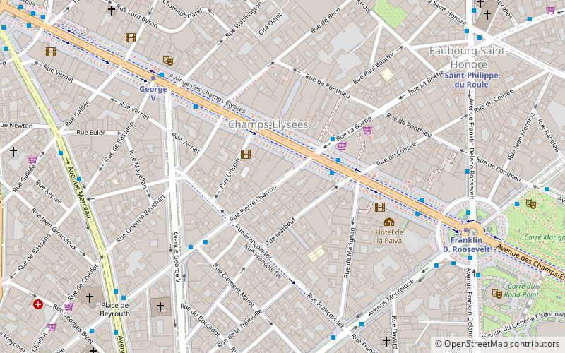
Map
Map
Facts and practical information
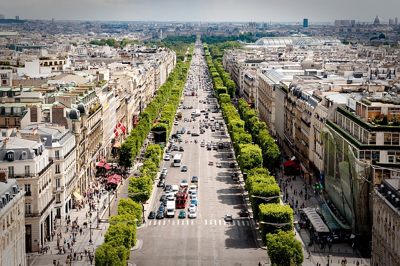
Rue Pierre Charron is a street in the 8th arrondissement of Paris, near Avenue Montaigne high-fashion district. ()
Address
Élysée (Champs-Élysées)Paris
ContactAdd
Social media
Add
Getting there by public transportation
Public transportation stops near this location
- Metro
- Bus
- Train
- Ferry
 Metro
Metro
- Calculate routeLa Boétie - Champs-Élysées 2 min walk
- Calculate routeChamps-Elysées - Disney Store 2 min walk
- Calculate routePierre Charron - François 1er 4 min walk
- Calculate routeGeorge V 5 min walk
- Calculate routeFranklin D. Roosevelt 6 min walk
- Calculate routeGeorge V 6 min walk
- Calculate routeSaint-Philippe du Roule 8 min walk
- Calculate routeAlma-Marceau 11 min walk
- Calculate routeCharles de Gaulle-Étoile 14 min walk
- Calculate routeCharles de Gaulle — Étoile 14 min walk
- Calculate routeInvalides 17 min walk
- Calculate routeGare Saint-Lazare 27 min walk
- Calculate routePort des Champs-Elysées 17 min walk
- Calculate routeTour-Eiffel 23 min walk
- Calculate routeMusée d'Orsay 31 min walk
Maps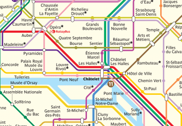 Metro
Metro
MetroDay trips
Rue Pierre Charron – popular in the area (distance from the attraction)
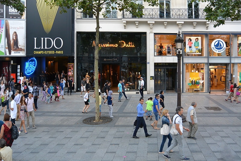
Nearby attractions include: Champs-Élysées, Boulevard Haussmann, Avenue Montaigne, Avenue George V.

Frequently Asked Questions (FAQ)
Which popular attractions are close to Rue Pierre Charron?
Nearby attractions include Théâtre Fémina, Paris (3 min walk), Le Gerny's, Paris (3 min walk), Lido, Paris (6 min walk), American Cathedral in Paris, Paris (7 min walk).
How to get to Rue Pierre Charron by public transport?
The nearest stations to Rue Pierre Charron:
Bus
Metro
Train
Ferry
Bus
- La Boétie - Champs-Élysées • Lines: 32, 73, N11, N24 (2 min walk)
- Champs-Elysées - Disney Store • Lines: Bleue (2 min walk)
Metro
- Franklin D. Roosevelt • Lines: 1, 9 (6 min walk)
- George V • Lines: 1 (6 min walk)
Train
- Charles de Gaulle-Étoile (14 min walk)
- Charles de Gaulle — Étoile (14 min walk)
Ferry
- Port des Champs-Elysées • Lines: Batobus (17 min walk)
- Tour-Eiffel • Lines: Batobus (23 min walk)