Fontaine Saint-Michel, Paris
Map
Gallery
Facts and practical information
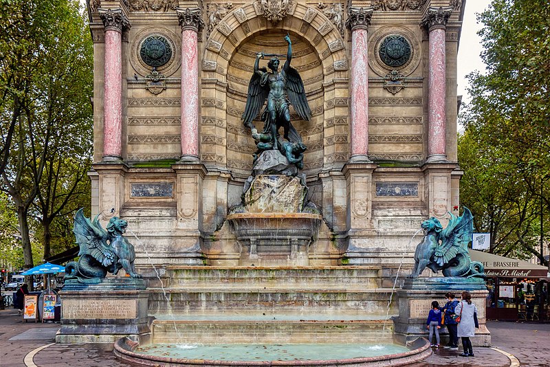
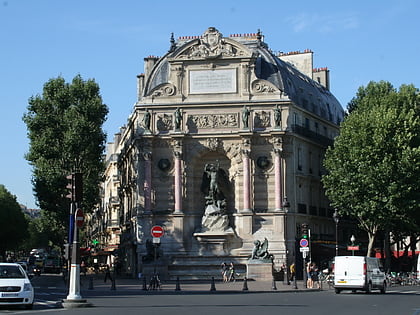
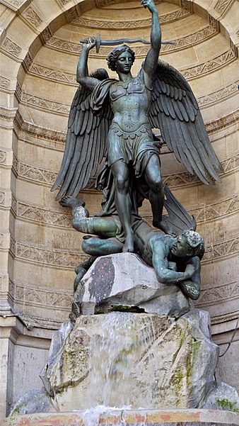
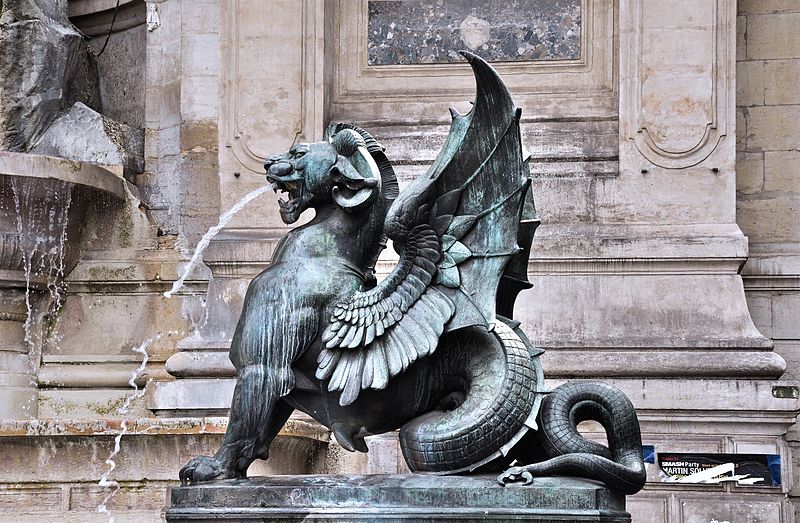
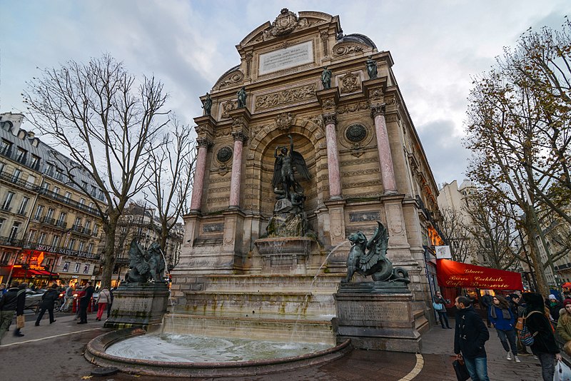
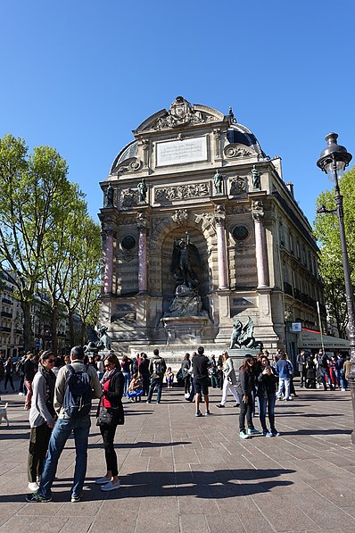
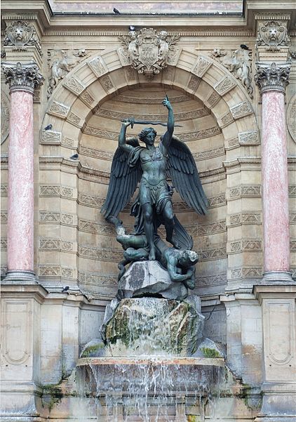
The Fontaine Saint-Michel is a monumental fountain located in Place Saint-Michel in the 6th arrondissement in Paris. It was constructed in 1858–1860 during the French Second Empire by the architect Gabriel Davioud. It has been listed since 1926 as a monument historique by the French Ministry of Culture. ()
Local name: Fontaine Saint-Michel de Paris Architectural style: EclecticismCoordinates: 48°51'12"N, 2°20'37"E
Address
44 boulevard Saint MichelLuxembourg (Monnaie)Paris 75270
Contact
+33 1 40 46 75 06
Social media
Add
Day trips
Fontaine Saint-Michel – popular in the area (distance from the attraction)
Nearby attractions include: Sainte-Chapelle, Musée de Cluny, Conciergerie, Charlemagne et ses Leudes.
Frequently Asked Questions (FAQ)
Which popular attractions are close to Fontaine Saint-Michel?
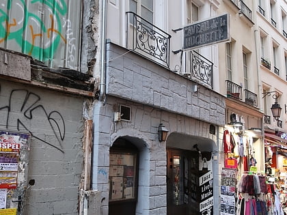
Nearby attractions include Saint-Séverin, Paris (1 min walk), Place Saint-Michel, Paris (2 min walk), Pont Saint-Michel, Paris (2 min walk), Rue de la Huchette, Paris (3 min walk).
How to get to Fontaine Saint-Michel by public transport?
The nearest stations to Fontaine Saint-Michel:
Metro
Bus
Train
Ferry
Metro
- Saint-Michel • Lines: 4 (1 min walk)
- Cluny-La Sorbonne • Lines: 10 (4 min walk)
Bus
- Saint-Michel - Saint-Germain • Lines: 21, 27, 38, 96, N12, N122, N13, N14, N21 (1 min walk)
- Saint-Michel • Lines: 27, 87, 96, N12, N13 (2 min walk)
Train
- Saint-Michel Notre-Dame (3 min walk)
- Luxembourg (15 min walk)
Ferry
- Notre-Dame • Lines: Batobus (8 min walk)
- Hôtel-de-Ville • Lines: Batobus (12 min walk)


 Metro
Metro


