Blanche, Paris
Map
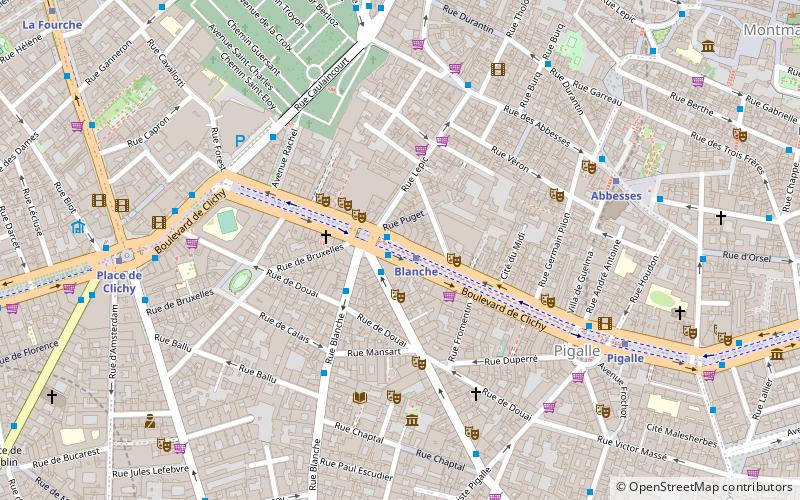
Map

Facts and practical information
Place Blanche in Paris, France is one of the small plazas along the Boulevard de Clichy, which runs between the 9th and 18th arrondissements and leads into Montmartre. It is near Pigalle. ()
Address
59 Boulevard de ClichyButtes-Montmartre (Grandes-Carrières)Paris
ContactAdd
Social media
Add
Day trips
Blanche – popular in the area (distance from the attraction)
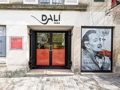
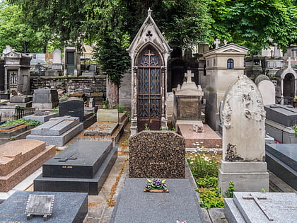
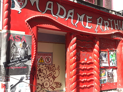
Nearby attractions include: Moulin Rouge, Espace Dali, Cimetière de Montmartre, Madame Arthur.
Frequently Asked Questions (FAQ)
Which popular attractions are close to Blanche?
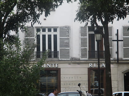
Nearby attractions include Museum of Eroticism, Paris (1 min walk), Boulevard de Clichy, Paris (2 min walk), Moulin Rouge, Paris (2 min walk), Sainte-Rita, Paris (2 min walk).
How to get to Blanche by public transport?
The nearest stations to Blanche:
Bus
Metro
Train
Tram
Bus
- Moulin Rouge - Pigalle • Lines: Rouge (1 min walk)
- Blanche • Lines: 30, 54, 68, 74, N01, N02 (1 min walk)
Metro
- Blanche • Lines: 2 (1 min walk)
- Abbesses • Lines: 12 (6 min walk)
Train
- Funiculaire Montmartre - Station Inférieure (12 min walk)
- Funiculaire Montmartre - Station Supérieure (12 min walk)
Tram
- Porte de Saint-Ouen • Lines: T3b (26 min walk)
- Angélique Compoint • Lines: T3b (26 min walk)

 Metro
Metro
