Costebelle, Hyères
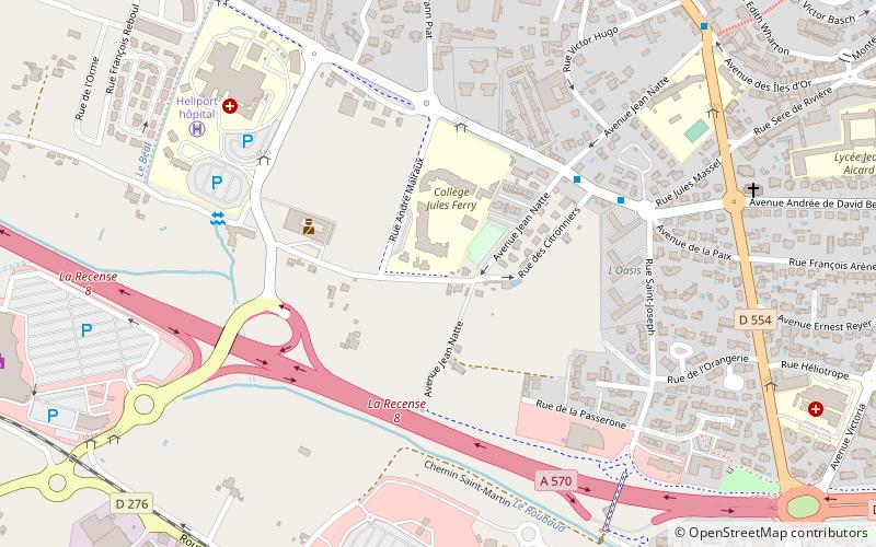
Map
Facts and practical information
Costebelle is a quarter of the town of Hyères in the southeast of France, in the Var département. ()
Coordinates: 43°6'60"N, 6°7'0"E
Address
Hyères
ContactAdd
Social media
Add
Getting there by public transportation
Public transportation stops near this location
- Bus
 Bus
Bus
- Calculate routeCollège Jules Ferry 4 min walk
- Calculate routeL'Oasis 5 min walk
- Calculate routeHôpital 6 min walk
Day trips


Frequently Asked Questions (FAQ)
Which popular attractions are close to Costebelle?
Nearby attractions include Castel Sainte-Claire, Hyères (14 min walk), Église Saint-Paul d'Hyères, Hyères (16 min walk), Tour des Templiers, Hyères (18 min walk), Villa Noailles, Hyères (19 min walk).
How to get to Costebelle by public transport?
The nearest stations to Costebelle:
Bus
Bus
- Collège Jules Ferry • Lines: 17 (4 min walk)
- L'Oasis • Lines: 17, 8811 (5 min walk)