Louise-Catherine, Paris
Map
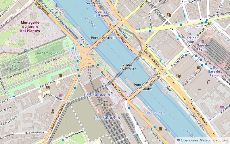
Map

Facts and practical information
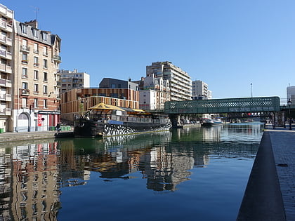
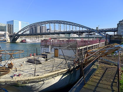
Louise-Catherine is a former coal barge that was converted by the architect Le Corbusier into a floating homeless shelter, moored in Paris. It is a registered historic monument of the city of Paris. After being unused for years, it was under renovation as a cultural centre when it sank in the aftermath of the flooding of the Seine in early 2018. ()
Address
Gobelins (Salpêtrière)Paris
ContactAdd
Social media
Add
Day trips
Louise-Catherine – popular in the area (distance from the attraction)
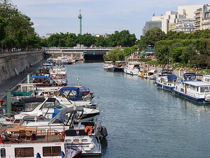
Nearby attractions include: Jardin des Plantes, National Museum of Natural History, La Ménagerie, Bassin de l'Arsenal.
Frequently Asked Questions (FAQ)
Which popular attractions are close to Louise-Catherine?
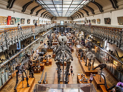
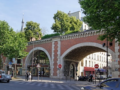
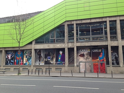
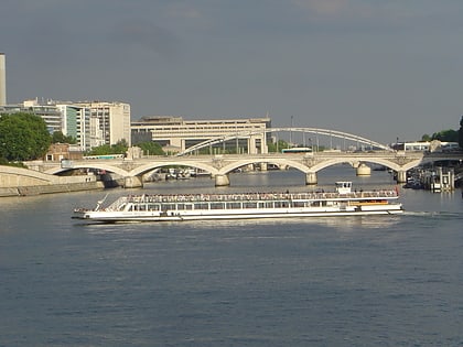
Nearby attractions include Viaduc d'Austerlitz, Paris (2 min walk), Pont Charles-de-Gaulle, Paris (3 min walk), Pont d'Austerlitz, Paris (3 min walk), Galerie de paléontologie et d'anatomie comparée, Paris (5 min walk).
How to get to Louise-Catherine by public transport?
The nearest stations to Louise-Catherine:
Bus
Metro
Train
Ferry
Bus
- Gare d'Austerlitz - Cour Seine • Lines: 24, 57, 61, 63, 89, N133 (3 min walk)
- Gare d'Austerlitz • Lines: 215, 24, 57, 63, 91, N01, N02, N131, N133, N31 (4 min walk)
Metro
- Gare d'Austerlitz • Lines: 10, 5 (3 min walk)
- Quai de la Rapée • Lines: 5 (6 min walk)
Train
- Gare d'Austerlitz (4 min walk)
- Gare de Lyon (9 min walk)
Ferry
- Jardin des Plantes • Lines: Batobus (8 min walk)
- Notre-Dame • Lines: Batobus (25 min walk)
 Metro
Metro


