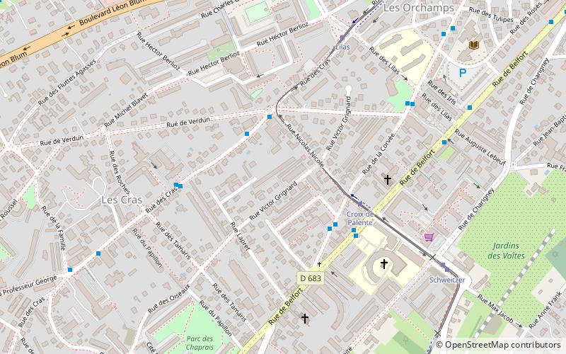
Torcols, Besançon
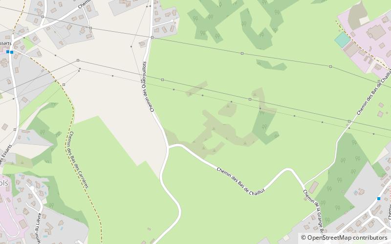
Map
Facts and practical information
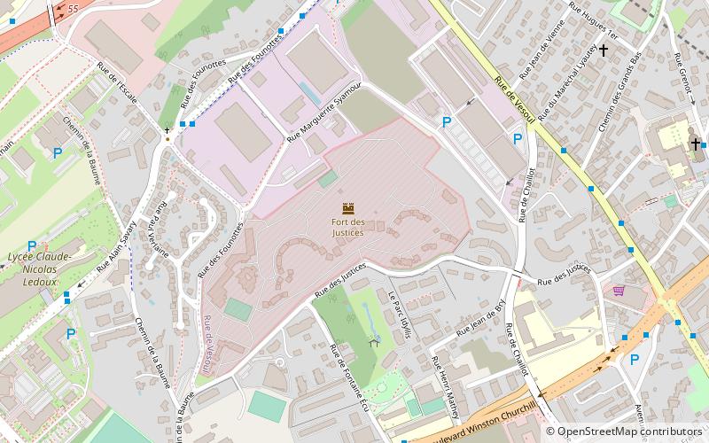
Torcols, or The Torcols is a sector of Besançon, Doubs, France, located north of the city. ()
Address
Saint-Claude - Torcols (Torcols)Besançon
ContactAdd
Social media
Add
Day trips
Torcols – popular in the area (distance from the attraction)
Nearby attractions include: Evangelical Missionary Church of Besançon, Champs-Bruley cemetery, Jewish cemetery of Besançon, Jardin botanique de Besançon.
Frequently Asked Questions (FAQ)
How to get to Torcols by public transport?
The nearest stations to Torcols:
Bus
Train
Tram
Bus
- Antoine • Lines: 20 (9 min walk)
- Combe Maçon • Lines: 20 (9 min walk)
Train
- École-Valentin (30 min walk)
Tram
- Lilas • Lines: T1 (35 min walk)
- Croix de Palente • Lines: T1 (39 min walk)
