Cras, Besançon
Map
Facts and practical information
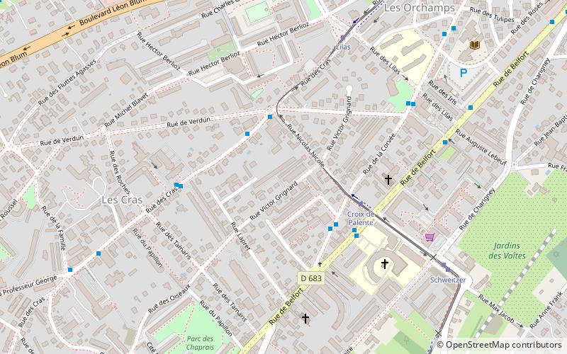
Cras is a district of Besançon located to the east of the city. Its name comes from the Franche-Comté "Cra" which means "crow". ()
Address
Palente - Orchamps - Saragosse (Cras)Besançon
ContactAdd
Social media
Add
Getting there by public transportation
Public transportation stops near this location
- Bus
- Tram
- Train
 Bus
Bus
- Calculate routeDebussy 3 min walk
- Calculate routeBelfort 4 min walk
- Calculate routeMutualité 4 min walk
- Calculate routeCroix de Palente 3 min walk
- Calculate routeLilas 6 min walk
- Calculate routeSchweitzer 7 min walk
- Calculate routeVaîtes 10 min walk
- Calculate routeBesançon-Viotte 29 min walk
Day trips


Frequently Asked Questions (FAQ)
Which popular attractions are close to Cras?
Nearby attractions include Vaites, Besançon (9 min walk), Jewish cemetery of Besançon, Besançon (11 min walk), Église Saint-Martin des Chaprais, Besançon (15 min walk), Orchamps, Besançon (15 min walk).
How to get to Cras by public transport?
The nearest stations to Cras:
Bus
Tram
Train
Bus
- Debussy • Lines: 6 (3 min walk)
- Belfort • Lines: 11 (4 min walk)
Tram
- Croix de Palente • Lines: T1 (3 min walk)
- Lilas • Lines: T1 (6 min walk)
Train
- Besançon-Viotte (29 min walk)