Château Bon, Montpellier
Map

Map

Facts and practical information
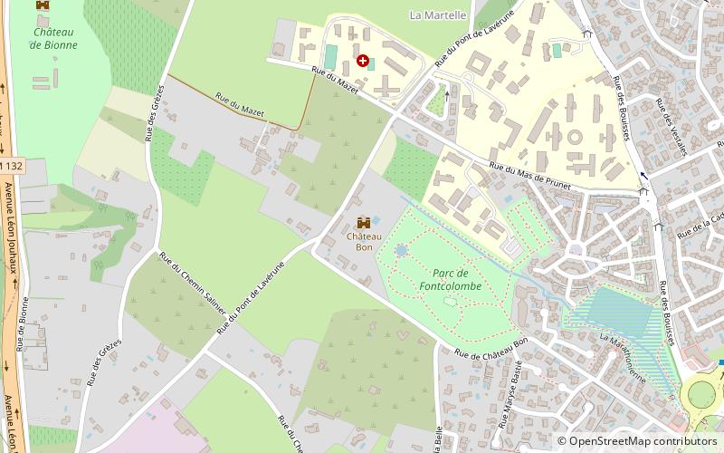
The castle Bon is a folly of Montpellier from the late seventeenth century, profoundly altered between 1858 and 1862.
This building is located on rue de Château Bon, in the Font-Colombe park in the La Martelle district of Montpellier.
Coordinates: 43°35'55"N, 3°49'42"E
Address
La Martelle (Les Grèzes)Montpellier
ContactAdd
Social media
Add
Day trips
Château Bon – popular in the area (distance from the attraction)
Nearby attractions include: GGL Stadium, Ibn Sina Mosque, Château de l'Engarran, Juvignac.
Frequently Asked Questions (FAQ)
How to get to Château Bon by public transport?
The nearest stations to Château Bon:
Bus
Tram
Bus
- Les Bouisses • Lines: 11, 15 (9 min walk)
- Le Terral • Lines: 38 (11 min walk)
Tram
- Tonnelles • Lines: 3 (30 min walk)
- Celleneuve • Lines: 3 (30 min walk)


