Lycée Jules-Ferry, Paris
Map
Facts and practical information
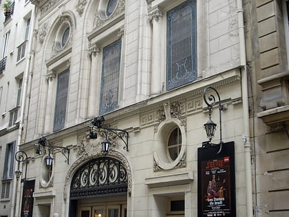
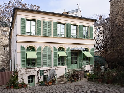
The Lycée Jules-Ferry is a public secondary and higher education school located in the 9th arrondissement of Paris. It is famous especially since it was used in Diane Kurys's film, Peppermint Soda. ()
Address
Opéra (Saint Georges)Paris
ContactAdd
Social media
Add
Day trips
Lycée Jules-Ferry – popular in the area (distance from the attraction)
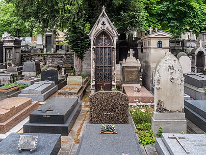
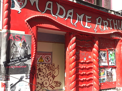
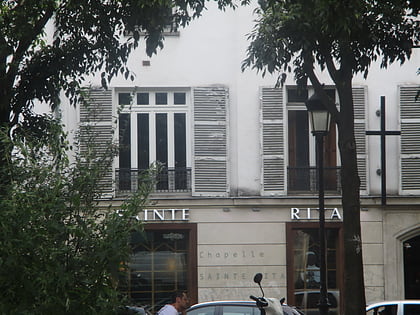
Nearby attractions include: Moulin Rouge, Cimetière de Montmartre, Madame Arthur, Sainte-Rita.
Frequently Asked Questions (FAQ)
Which popular attractions are close to Lycée Jules-Ferry?
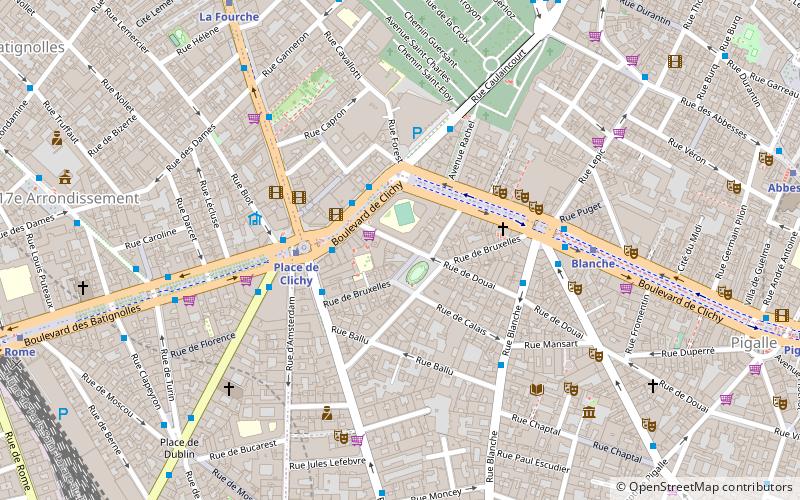
Nearby attractions include Sainte-Rita, Paris (3 min walk), Place de Clichy, Paris (4 min walk), Moulin Rouge, Paris (4 min walk), Blanche, Paris (5 min walk).
How to get to Lycée Jules-Ferry by public transport?
The nearest stations to Lycée Jules-Ferry:
Bus
Metro
Train
Tram
Bus
- Place de Clichy - Caulaincourt • Lines: 30, 54, 74, 80, 95, N02 (2 min walk)
- Place de Clichy • Lines: 21, 30, 54, 68, 74, 80, 95, N01, N02, N15, N51 (3 min walk)
Metro
- Place de Clichy • Lines: 13, 2 (2 min walk)
- Blanche • Lines: 2 (5 min walk)
Train
- Gare Saint-Lazare (14 min walk)
- Haussmann - Saint-Lazare (15 min walk)
Tram
- Porte de Saint-Ouen • Lines: T3b (25 min walk)
- Épinettes-Pouchet • Lines: T3b (26 min walk)
 Metro
Metro
