Laënnec, Lyon

Map
Facts and practical information
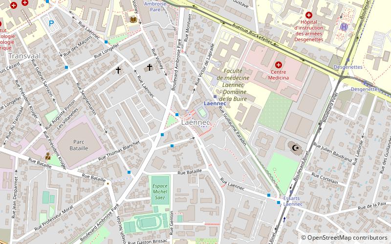
Laënnec is a quarter of the 8th arrondissement of Lyon, in France. It is served by the eponymous station of the Line D of the Lyon Metro, which was opened on 11 December 1992 and had 132,316 passengers per month in 2006. Notable monuments of the quarter are the Grand Mosque of Lyon, located in the Boulevard Pinel, the Faculty of Medicine, the Faculty of Dentistry and the Maison des jeunes et de la culture. ()
Address
Arrondissement 8E (La Buire Bataille)Lyon
ContactAdd
Social media
Add
Day trips
Laënnec – popular in the area (distance from the attraction)
Nearby attractions include: Institut Lumière, Fort Montluc, Place Ambroise-Courtois, Maison de la Danse.
Frequently Asked Questions (FAQ)
Which popular attractions are close to Laënnec?
Nearby attractions include Grande mosquée de Lyon, Lyon (6 min walk), Musée Testut-Latarjet, Lyon (10 min walk), Maison de la Danse, Lyon (18 min walk), 8th arrondissement of Lyon, Lyon (19 min walk).
How to get to Laënnec by public transport?
The nearest stations to Laënnec:
Bus
Metro
Tram
Trolleybus
Bus
- Ambroise Paré - Laënnec • Lines: 24, 34 (2 min walk)
- Essarts - Laënnec • Lines: 1E, 24 (6 min walk)
Metro
- Laennec • Lines: D (2 min walk)
- Mermoz - Pinel • Lines: D (13 min walk)
Tram
- Essarts - Laennec • Lines: T6 (7 min walk)
- Ambroise Paré • Lines: T2, T5 (8 min walk)
Trolleybus
- Jean Bart • Lines: C13 (16 min walk)
- Place Henri • Lines: C13 (21 min walk)
 Metro
Metro


