Lycée Jean Jaurès, Montreuil
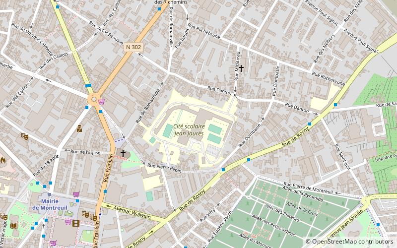
Map
Map

Facts and practical information
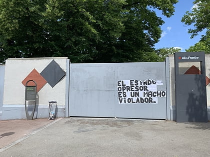
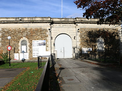
Lycée Jean Jaurès is a sixth-form college/senior high school in Montreuil, Seine-Saint-Denis, France in the Paris metropolitan area. School built from 1960 by the architect Jacques Carlu in the area of Murs à pêches and Opened in 1964. The school was designed for 2600 students. The high school is only one of the five schools in Montreuil. ()
Coordinates: 48°51'53"N, 2°26'53"E
Address
Montreuil (Signac - Murs-à-Pêches)Montreuil
ContactAdd
Social media
Add
Day trips
Lycée Jean Jaurès – popular in the area (distance from the attraction)
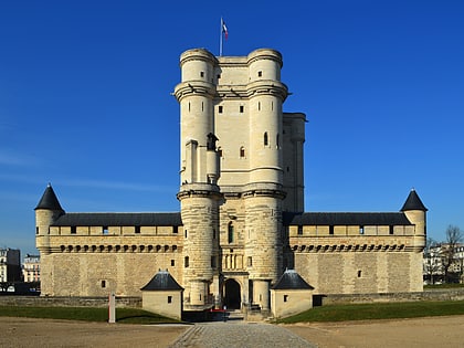
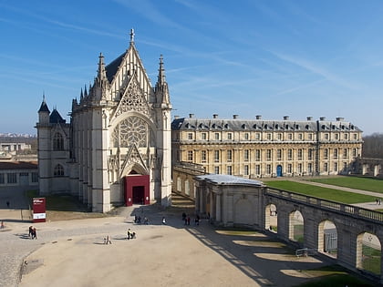
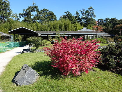
Nearby attractions include: Château de Vincennes, Sainte-Chapelle de Vincennes, Parc Floral de Paris, Vincennes Synagogue.
Frequently Asked Questions (FAQ)
How to get to Lycée Jean Jaurès by public transport?
The nearest stations to Lycée Jean Jaurès:
Bus
Metro
Bus
- Lycée Jean Jaurès • Lines: 102, 121, N34 (3 min walk)
- Place François Mitterrand • Lines: 129, 322 (6 min walk)
Metro
- Mairie de Montreuil • Lines: 9 (9 min walk)
- Croix de Chavaux • Lines: 9 (19 min walk)
