Stade Poitevin Rugby, Poitiers
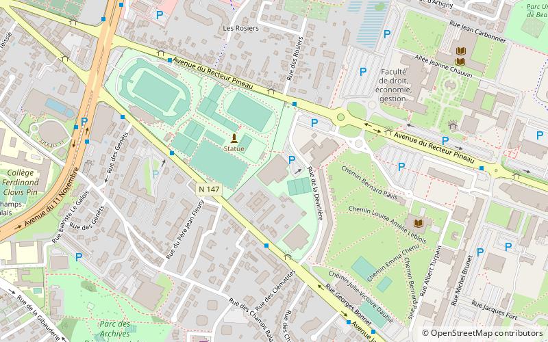
Map
Facts and practical information
Stade Poitevin Rugby is a French semi-professional rugby union team based in Poitiers. They currently play in Fédérale 3, the fifth division of the French rugby pyramid. ()
Address
Gibauderie (Les Facultés)Poitiers
Contact
+33 5 49 46 23 74
Social media
Add
Getting there by public transportation
Public transportation stops near this location
- Bus
 Bus
Bus
- Calculate routeGymnase 4 min walk
- Calculate routeBosquets 4 min walk
- Calculate routeRabelais 5 min walk
- Calculate routeRecteur Pineau 6 min walk
Day trips


Frequently Asked Questions (FAQ)
How to get to Stade Poitevin Rugby by public transport?
The nearest stations to Stade Poitevin Rugby:
Bus
Bus
- Gymnase • Lines: 11, 32 (4 min walk)
- Bosquets • Lines: 11 (4 min walk)