Place Harvey-Milk, Paris
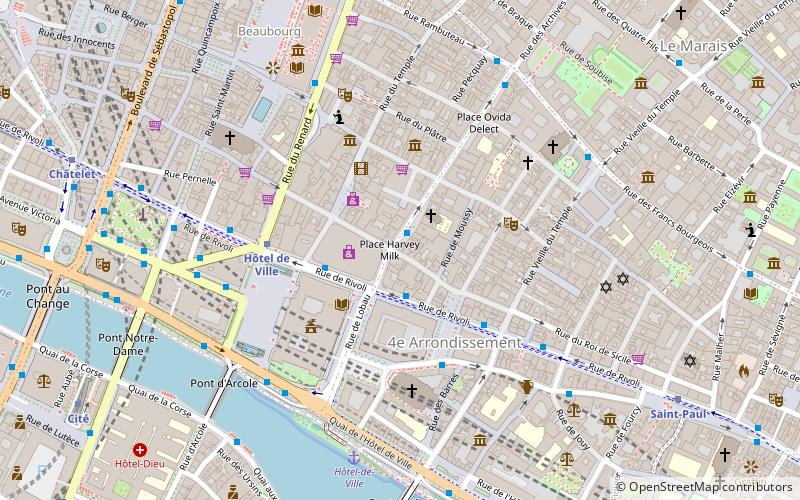
Map
Facts and practical information
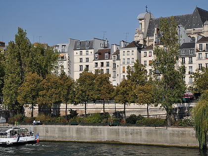
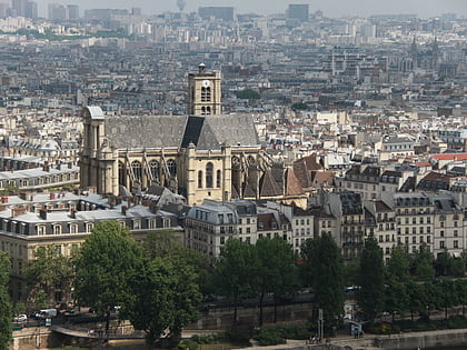
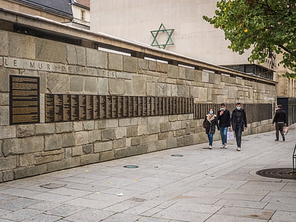
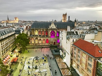
The Place Harvey Milk is a public square in Paris, France. It lies at a junction in Le Marais, at the intersection of the Rue des Archives and the Rue de la Verrerie, at the heart of the French capital. ()
Address
Hôtel-de-Ville (Saint Gervais)Paris
ContactAdd
Social media
Add
Day trips
Place Harvey-Milk – popular in the area (distance from the attraction)
Nearby attractions include: Rue de Rivoli, Musée National d'Art Moderne, Centre Georges Pompidou, Saint-Jacques Tower.
Frequently Asked Questions (FAQ)
Which popular attractions are close to Place Harvey-Milk?
Nearby attractions include Place des Émeutes-de-Stonewall, Paris (2 min walk), Rue de Rivoli, Paris (2 min walk), Café de la Gare, Paris (3 min walk), 4th arrondissement of Paris, Paris (3 min walk).
How to get to Place Harvey-Milk by public transport?
The nearest stations to Place Harvey-Milk:
Bus
Metro
Ferry
Train
Bus
- La Verrerie • Lines: 75 (1 min walk)
- Hôtel de Ville • Lines: 67, 76, 96, N11, N16, Verte (2 min walk)
Metro
- Hôtel de Ville • Lines: 1, 11 (4 min walk)
- Pont Marie • Lines: 7 (7 min walk)
Ferry
- Hôtel-de-Ville • Lines: Batobus (6 min walk)
- Notre-Dame • Lines: Batobus (12 min walk)
Train
- Châtelet - Les Halles (12 min walk)
- Saint-Michel Notre-Dame (13 min walk)
 Metro
Metro


