Vaites, Besançon
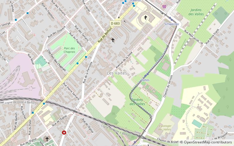
Map
Facts and practical information
Vaites or The Vaites is a district of Besançon, located to the northeast of the city. ()
Address
Vaite - Clairs Soleils (Vaite)Besançon
ContactAdd
Social media
Add
Getting there by public transportation
Public transportation stops near this location
- Bus
- Tram
- Train
 Bus
Bus
- Calculate routeVaîtes 3 min walk
- Calculate routeBrûlefoin 7 min walk
- Calculate routeSchweitzer 7 min walk
- Calculate routeCroix de Palente 8 min walk
- Calculate routePapillon 4 min walk
- Calculate routeBelfort 7 min walk
- Calculate routeBrûlefoin 7 min walk
- Calculate routeBaille 8 min walk
- Calculate routeBesançon-Mouillère 25 min walk
- Calculate routeBesançon-Viotte 26 min walk
Day trips


Frequently Asked Questions (FAQ)
Which popular attractions are close to Vaites?
Nearby attractions include Cras, Besançon (9 min walk), Église Saint-Martin des Chaprais, Besançon (9 min walk), Champs-Bruley cemetery, Besançon (10 min walk), Clairs-Soleils, Besançon (11 min walk).
How to get to Vaites by public transport?
The nearest stations to Vaites:
Tram
Bus
Train
Tram
- Vaîtes • Lines: T1 (3 min walk)
- Brûlefoin • Lines: T1 (7 min walk)
Bus
- Papillon • Lines: 11 (4 min walk)
- Belfort • Lines: 11 (7 min walk)
Train
- Besançon-Mouillère (25 min walk)
- Besançon-Viotte (26 min walk)