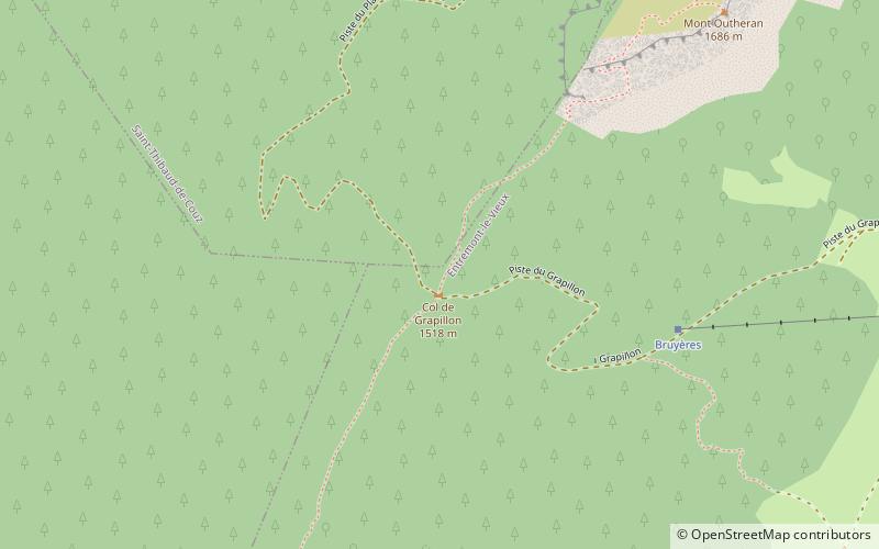
Col du Grapillon, Parc Naturel Régional de la Chartreuse
Map

Map

Facts and practical information
The Col du Grapillon is a mountain pass located 1,509 metres above sea level in the Chartreuse Mountains between La Cochette to the south, and Mont Outheran to the north ()
Address
Parc Naturel Régional de la Chartreuse
ContactAdd
Social media
Add
Day trips
Col du Grapillon – popular in the area (distance from the attraction)
Nearby attractions include: La Cochette, Mont Outheran, Col de la Cluse, Col de Couz.
Frequently Asked Questions (FAQ)
How to get to Col du Grapillon by public transport?
The nearest stations to Col du Grapillon:
Bus
Bus
- Saint-Jean de Couz - Chef Lieu • Lines: 7010 (32 min walk)
- Les Martins • Lines: 7010 (32 min walk)


