Col de Couz, Parc Naturel Régional de la Chartreuse
Map

Map

Facts and practical information
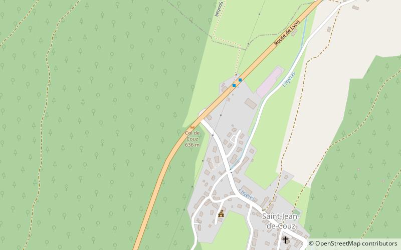
The Col de Couz is a pass located near the village of Saint-Jean-de-Couz, peaking at 624 m above sea level. It is located at equal distances from the ends of the valley of Couz. It connects Chambéry north-east to Les Echelles southwest side. It is crossed by the departmental road 1006. Mount Beauvoir is located west of the Col de Couz. ()
Address
Parc Naturel Régional de la Chartreuse
ContactAdd
Social media
Add
Day trips
Col de Couz – popular in the area (distance from the attraction)
Nearby attractions include: Entre-deux-Guiers, Roche Veyrand, Mont Joigny, La Cochette.
Frequently Asked Questions (FAQ)
How to get to Col de Couz by public transport?
The nearest stations to Col de Couz:
Bus
Bus
- Saint-Jean de Couz - Chef Lieu • Lines: 7010 (3 min walk)
- Côte Barrier • Lines: 7010 (18 min walk)


