Notre-Dame-des-Champs, Paris
Map
Map

Facts and practical information
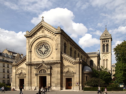
Notre-Dame-des-Champs is a Roman Catholic church located in the 6th arrondissement of Paris. The church is named after the Blessed Virgin Mary under the title of Our Lady of the Fields. ()
Day trips
Notre-Dame-des-Champs – popular in the area (distance from the attraction)
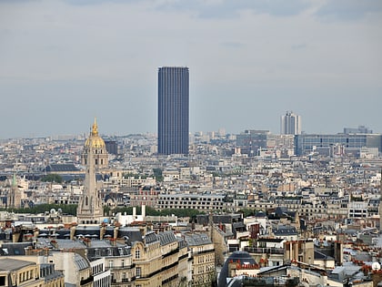
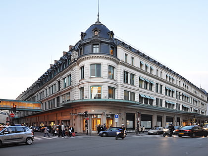
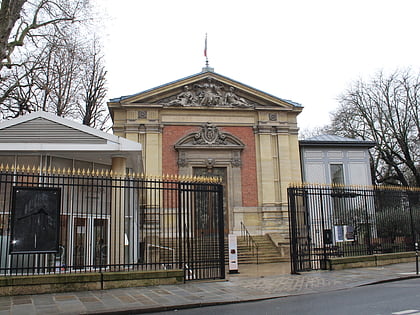
Nearby attractions include: Jardin du Luxembourg, Montparnasse, Tour Montparnasse, Le Bon Marché.
Frequently Asked Questions (FAQ)
Which popular attractions are close to Notre-Dame-des-Champs?
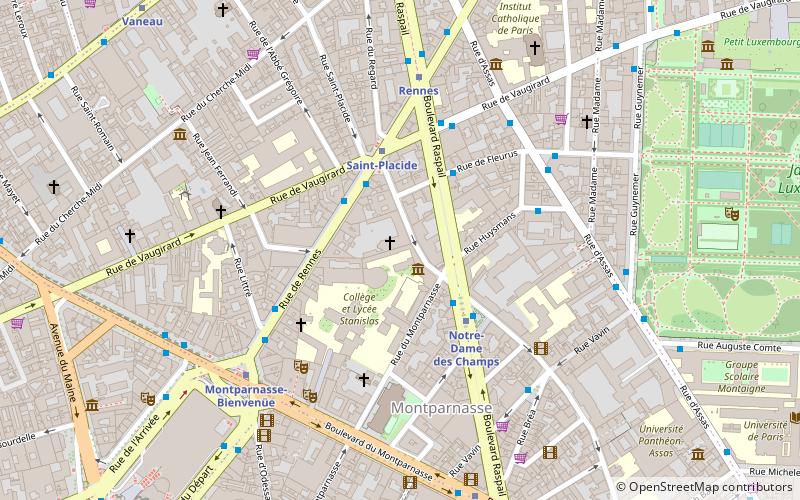
Nearby attractions include Allée Claude-Cahun-Marcel-Moore, Paris (2 min walk), Boulevard Raspail, Paris (2 min walk), Musée "Bible et Terre Sainte", Paris (6 min walk), Église Saint-Joseph-des-Carmes, Paris (6 min walk).
How to get to Notre-Dame-des-Champs by public transport?
The nearest stations to Notre-Dame-des-Champs:
Bus
Metro
Train
Ferry
Bus
- Rennes - Saint-Placide • Lines: 39, 89, 94, 95, 96, N01, N02, N12, N13 (2 min walk)
- Notre-Dame-des-Champs • Lines: 58, 68, 82 (3 min walk)
Metro
- Notre-Dame des Champs • Lines: 12 (3 min walk)
- Saint-Placide • Lines: 4 (3 min walk)
Train
- Gare Montparnasse (14 min walk)
- Luxembourg (15 min walk)
Ferry
- Louvre • Lines: Batobus (26 min walk)
- Musée d'Orsay • Lines: Batobus (27 min walk)
 Metro
Metro

