Entre-deux-Guiers
#530 among destinations in France


Facts and practical information
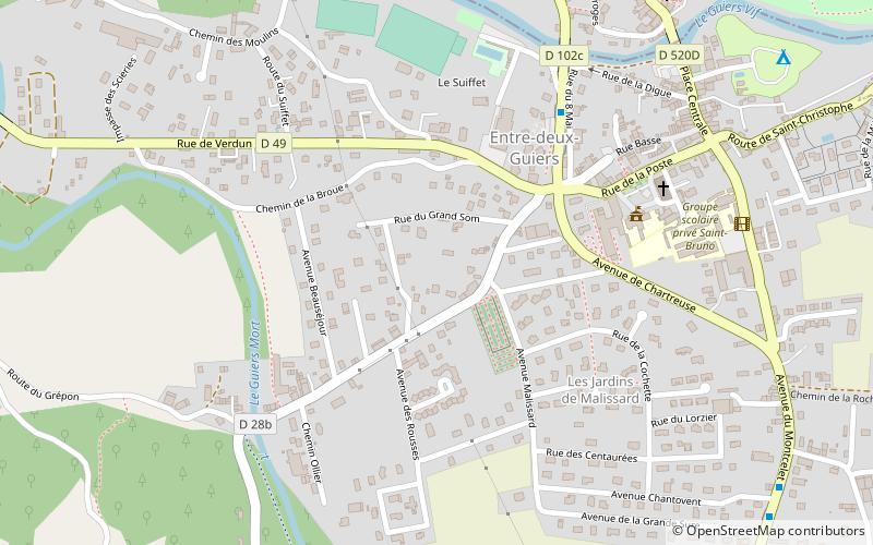
Entre-deux-Guiers is a commune in the Isère department in southeastern France. ()
Entre-deux-Guiers – popular in the area (distance from the attraction)
Nearby attractions include: Grand Som, Roche Veyrand, Grande Chartreuse, La Cochette.
 Nature, Natural attraction, Mountain
Grand Som
133 min walk • The Grand Som is a mountain of the Chartreuse Mountains in the French Prealps, in Isère, France. It has a long ridge, unevenly sharp, overlooking the Petit Som, the Col de la Ruchère northwest and the Grande Chartreuse monastery below the cliffs.
 Nature, Natural attraction, Mountain
Roche Veyrand
117 min walk • Roche Veyrand is a mountain of Savoie, France. It lies in the Chartreuse Mountains range. It has an elevation of 1,429 metres above sea level. It lies between the townships of Corbel and Saint-Pierre-d'Entremont in Savoie.
 Monastery
Grande Chartreuse
133 min walk • Grande Chartreuse is the head monastery of the Carthusian religious order. It is located in the Chartreuse Mountains, north of the city of Grenoble, in the commune of Saint-Pierre-de-Chartreuse, France.
 Nature, Natural attraction, Mountain
La Cochette
114 min walk • La Cochette is a mountain of the Chartreuse Mountains culminating at 1618 m above sea level and located at the edge of Corbel, of Saint-Jean-de-Couz and of Entremont-le-Vieux in Savoie.
 Nature, Natural attraction, Mountain
Mont Outheran
135 min walk • Mont Outheran is a mountain of the Chartreuse Mountains in the French Prealps, Savoie, France.
 Nature, Natural attraction, Mountain
Mont Beauvoir
95 min walk • Mont Beauvoir is a Chartreuse mountain culminating at 1,320 metres above sea level in the township of Saint-Jean-de-Couz in the French department of Savoie. Mont Beauvoir is part of the Jura Mountain range.
 Mountain
Roc de Gleisin, Parc Naturel Régional de la Chartreuse
123 min walk • The Roc de Gleisin is a Massif de la Chartreuse mountain located between Entremont-le-Vieux and Saint-Pierre-d'Entremont in Savoie districts. Rock bars on its western side also delimit the territory of Corbel district. The summit is 1,434 metres above sea level. The mountain is most composed of limestone.
 Canyon
Gorges du Guiers Vif, Parc Naturel Régional de la Chartreuse
77 min walk • The Gorges du Guiers Vif is a canyon located in Isère and Savoie between the towns of Corbel and Saint-Christophe-sur-Guiers, and having as tributary the Guiers Vif.
 Mountain
Pointe de Thivelet, Parc Naturel Régional de la Chartreuse
89 min walk • La Pointe de Thivelet is mountain culminating at 1231 m above sea level and located in the township of Corbel in Savoie. It is situated in the Chartreuse Mountains.
 Mountain pass
Col de la Ruchère, Parc Naturel Régional de la Chartreuse
100 min walk • The Col de la Ruchère is a mountain pass located at 1,407 m above sea level, in the township of Saint-Christophe-sur-Guiers in the Chartreuse Mountains between the Riondettes meadow at La Ruchère and the Grande Chartreuse monastery.
 Mountain pass
Col de la Cluse, Parc Naturel Régional de la Chartreuse
141 min walk • The Col de la Cluse is a mountain pass located 1,169 m above sea level in the Chartreuse Mountains. It connects Le Désert d'Entremont to Corbel, Savoie, France. The main road of the pass is the D45. In winter, It is a departure to the cross country ski slopes.
