Salyes, Luberon

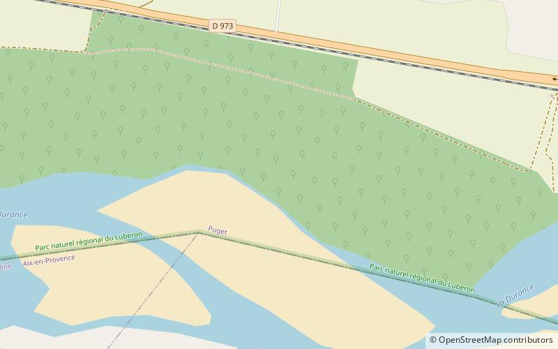
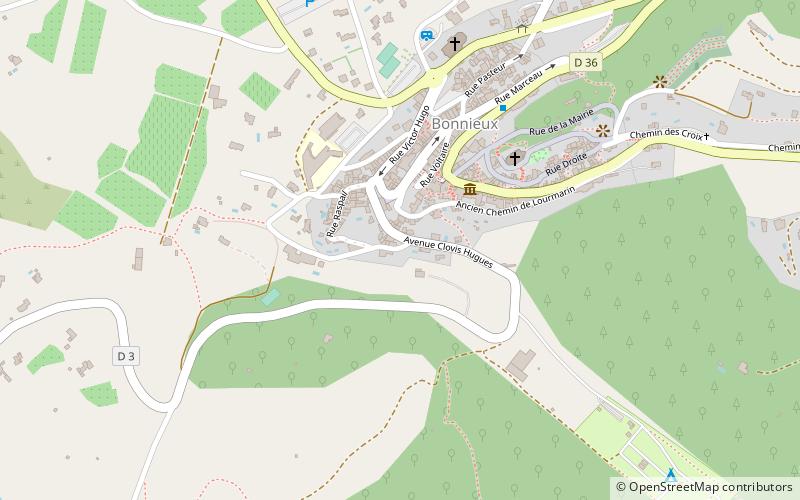
Map
Facts and practical information
The Salyes or Salluvii were an ancient Celto-Ligurian people dwelling between the Durance river and the Greek colony of Massalia during the Iron Age. Although earlier writers called them 'Ligurian', Strabo used the denomination 'Celto-ligurian', and a Celtic influence is noticeable in their religion, which centred on the cult of the tête coupée. In fact, the Salyes were most likely at the head of a political and military confederation that united both Gallic and Ligurian tribes. ()
Address
Luberon
ContactAdd
Social media
Add
Day trips
Salyes – popular in the area (distance from the attraction)
Nearby attractions include: Abbaye de Silvacane, Château de Lourmarin, Château, Aventure Paintball.
Frequently Asked Questions (FAQ)
How to get to Salyes by public transport?
The nearest stations to Salyes:
Bus
Bus
- Les Beaumes Bas • Lines: 8 (13 min walk)
- Puget Bas • Lines: 8 (24 min walk)


