Pont National, Paris
Map
Gallery
Facts and practical information
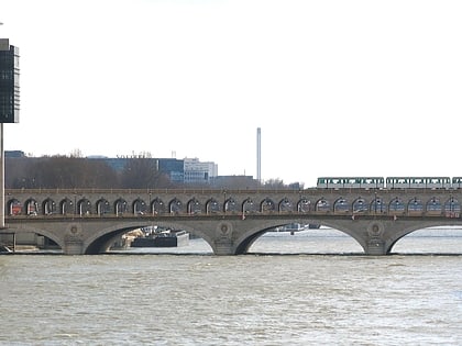
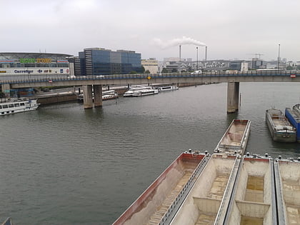
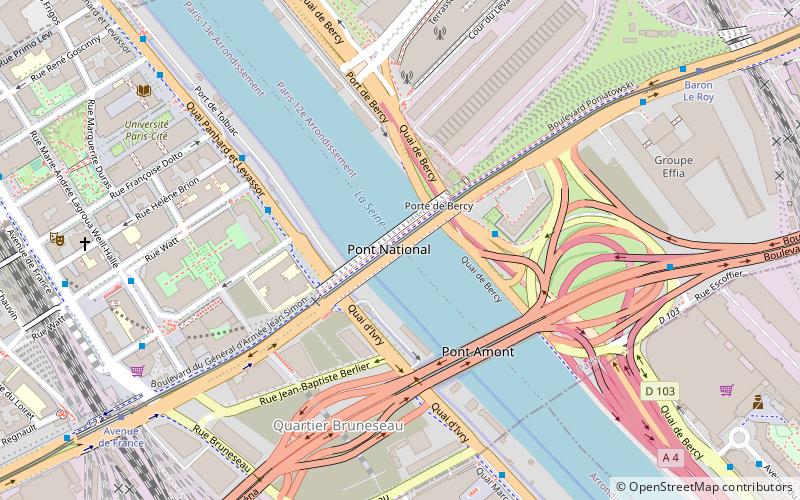
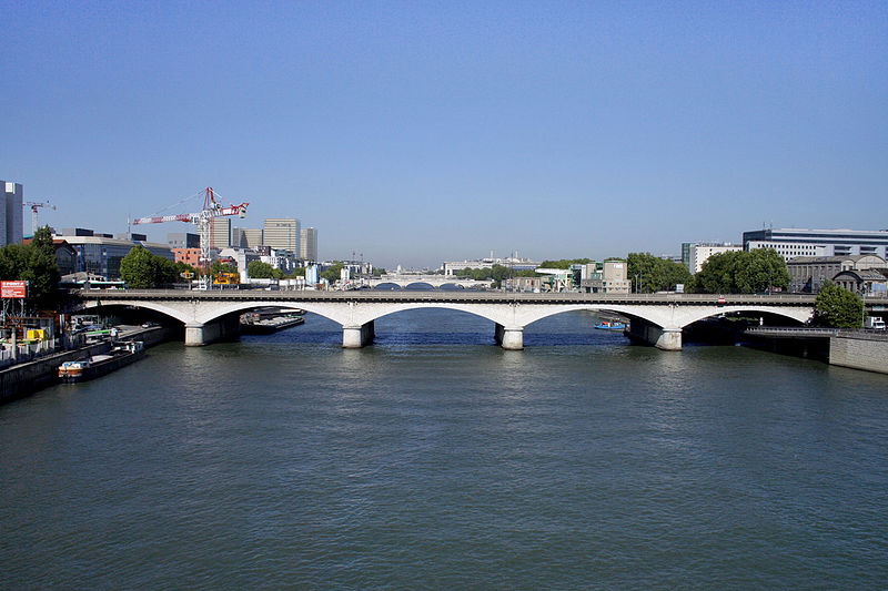
The pont National is a road and rail bridge across the Seine in Paris, to the east of the 12th and 13th arrondissements. With a total length of 188.5m, it is made up of 5 masonry arches. Its rail part carries the Petite Ceinture, now disused, and its road part links boulevard Poniatowski to boulevard Masséna. Its nearest Paris Métro stations are Porte de Charenton and Cour Saint-Émilion. ()
Address
Gobelins (Gare de Paris-Gobelins)Paris
ContactAdd
Social media
Add
Day trips
Pont National – popular in the area (distance from the attraction)
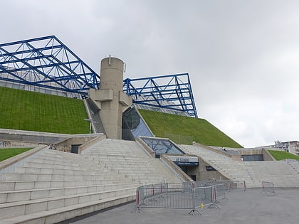
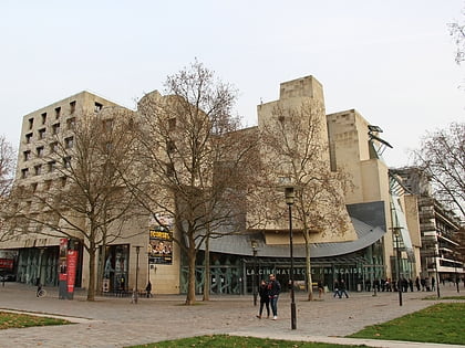
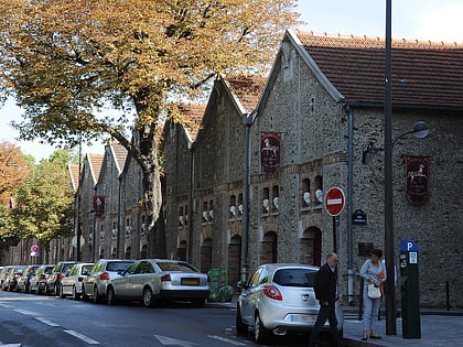
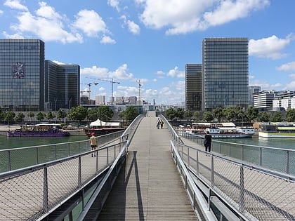
Nearby attractions include: Accor Arena, Cinémathèque Française, Musée des Arts Forains, Passerelle Simone-de-Beauvoir.
Frequently Asked Questions (FAQ)
Which popular attractions are close to Pont National?
Nearby attractions include Pont amont, Paris (4 min walk), Tours Duo, Paris (8 min walk), The Great Mills of Paris, Paris (8 min walk), Place Farhat-Hached, Paris (8 min walk).
How to get to Pont National by public transport?
The nearest stations to Pont National:
Bus
Tram
Metro
Train
Bus
- Pont National - Quai de Bercy;Pont National – Quai de Bercy • Lines: 109, 111, 24, N32 (3 min walk)
- Watt • Lines: 25, 325 (4 min walk)
Tram
- Avenue de France • Lines: T3a (9 min walk)
- Baron Le Roy • Lines: T3a (9 min walk)
Metro
- Cour Saint-Émilion • Lines: 14 (11 min walk)
- Bibliothèque François Mitterrand • Lines: 14 (13 min walk)
Train
- Bibliothèque François Mitterrand (13 min walk)
- Paris-Bercy - Bourgogne-Pays d'Auvergne (21 min walk)

 Metro
Metro