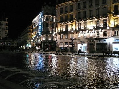
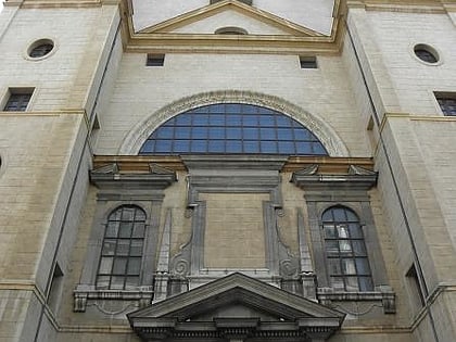
Rue de Vendôme, Lyon
Map
Map

Facts and practical information
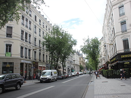
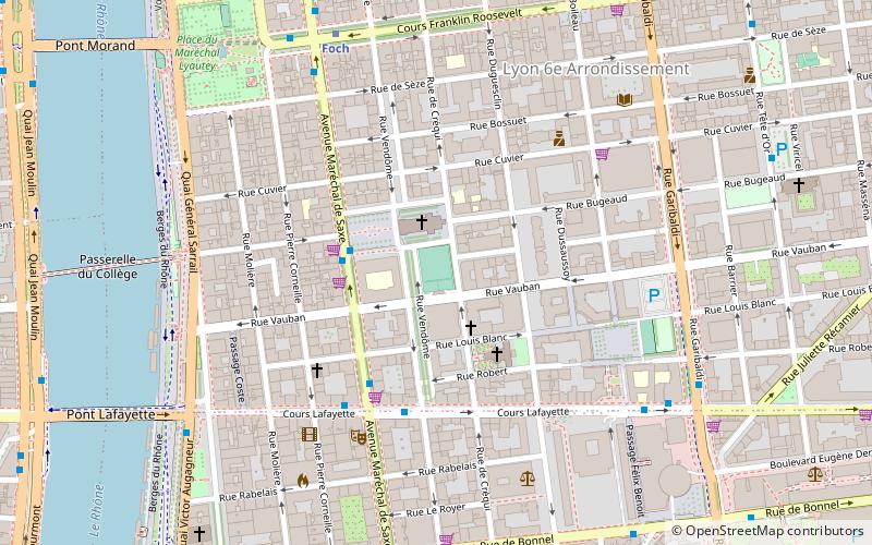
The Rue de Vendôme is a very long street located in Lyon. It begins with the Avenue de Grande Bretagne, along the Rhône, in the 6th arrondissement, and ends with the Cours Gambetta, in the 3rd arrondissement, after crossing the Place Guichard. ()
Address
Arrondissement 6E (Molière - Edgard Quinet)Lyon
ContactAdd
Social media
Add
Day trips
Rue de Vendôme – popular in the area (distance from the attraction)
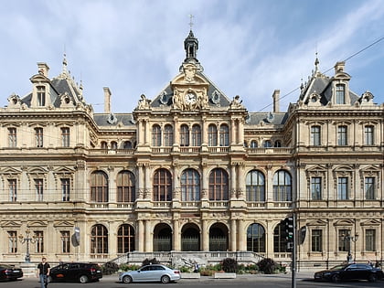
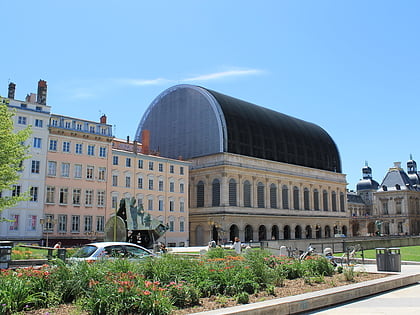
Nearby attractions include: Rue de la République, Lyon Part-Dieu, Palais de la Bourse, Opéra de Lyon.
Frequently Asked Questions (FAQ)
Which popular attractions are close to Rue de Vendôme?
Nearby attractions include Église Saint-Pothin, Lyon (2 min walk), Rue de Créqui, Lyon (4 min walk), Rue Duguesclin, Lyon (6 min walk), Tour Incity, Lyon (7 min walk).
How to get to Rue de Vendôme by public transport?
The nearest stations to Rue de Vendôme:
Bus
Trolleybus
Metro
Tram
Train
Ferry
Bus
- Edgar Quinet • Lines: 27 (3 min walk)
- Saxe - Lafayette • Lines: 27 (4 min walk)
Trolleybus
- Edgar Quinet • Lines: C4 (3 min walk)
- Saxe - Lafayette • Lines: C14, C4 (4 min walk)
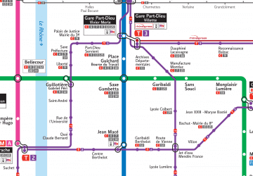
Metro
- Foch • Lines: A (7 min walk)
- Place Guichard - Bourse du Travail • Lines: B (12 min walk)
Tram
- Palais de Justice - Mairie du 3e • Lines: T1 (10 min walk)
- Saxe-Préfecture • Lines: T1 (10 min walk)
Train
- Lyon Part-Dieu (20 min walk)
- Lyon-Saint-Paul (24 min walk)
Ferry
- Saint-Paul - Hôtel de Ville • Lines: Vaporetto (22 min walk)
- Bellecour • Lines: Vaporetto (23 min walk)

 Metro
Metro