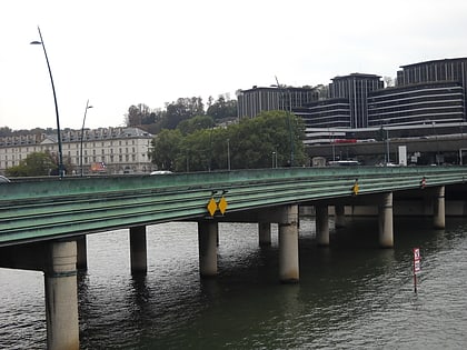
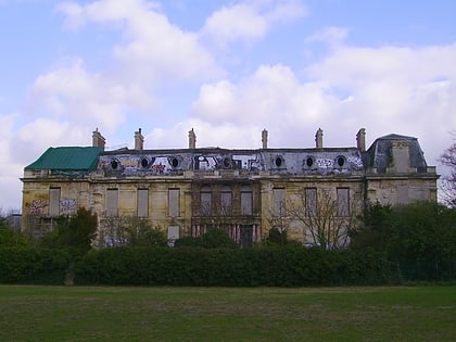
Saint-Cloud, Paris
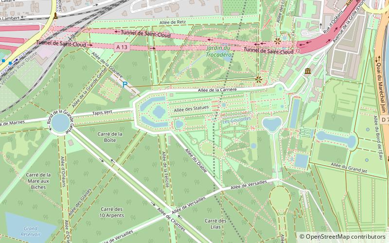
Map
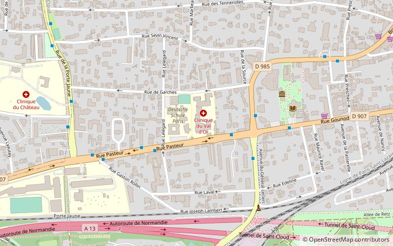
Gallery
Facts and practical information
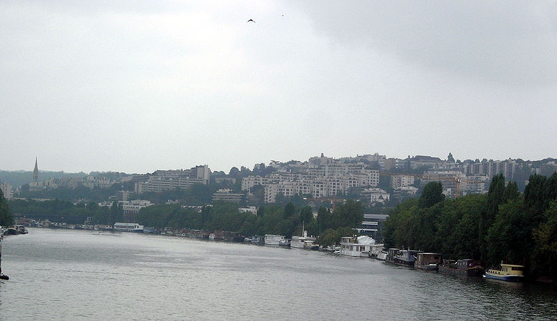
Saint-Cloud is a commune in the western suburbs of Paris, France, 9.6 kilometres from the centre of Paris. Like other communes of Hauts-de-Seine such as Marnes-la-Coquette, Neuilly-sur-Seine and Vaucresson, Saint-Cloud is one of France's wealthiest towns, with the second-highest average household income of communities with 10,000 to 50,000 households. In 2006, it had a population of 29,981. ()
Day trips
Saint-Cloud – popular in the area (distance from the attraction)
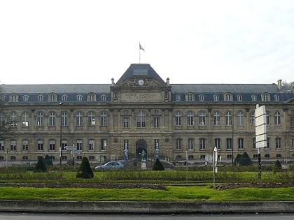
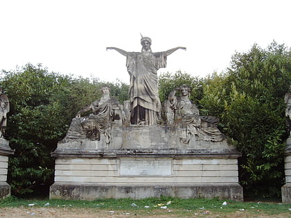
Nearby attractions include: Sèvres – Cité de la céramique, France Crowning Art and Industry, Musée Albert-Kahn, Pont de Sèvres.
Frequently Asked Questions (FAQ)
Which popular attractions are close to Saint-Cloud?
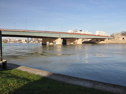
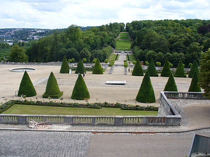
Nearby attractions include Parc de Saint-Cloud, Paris (17 min walk), Garches, Paris (21 min walk), Pont de Saint-Cloud, Paris (22 min walk), France Crowning Art and Industry, Boulogne-Billancourt (23 min walk).
How to get to Saint-Cloud by public transport?
The nearest stations to Saint-Cloud:
Bus
Train
Tram
Metro
Bus
- Général Leclerc • Lines: 160, 460, 467, 471 (4 min walk)
- Lelegard • Lines: 460, 467 (3 min walk)
Train
- Saint-Cloud (17 min walk)
- Garches - Marnes-la-Coquette (22 min walk)
Tram
- Parc de Saint-Cloud • Lines: T2 (21 min walk)
- Les Milons • Lines: T2 (24 min walk)
Metro
- Boulogne - Pont de Saint-Cloud • Lines: 10 (28 min walk)

 Metro
Metro