Saint-Fons, Lyon
Map
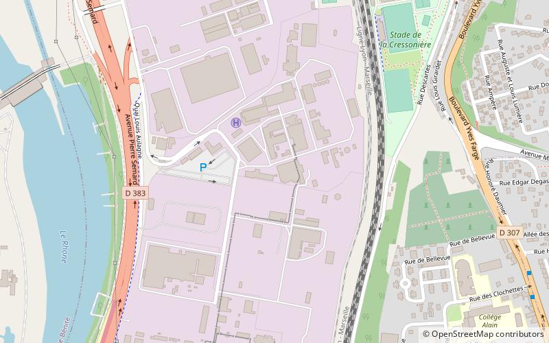
Map

Facts and practical information
Saint-Fons is a commune in the Metropolis of Lyon in Auvergne-Rhône-Alpes region in eastern France. It was created in 1888 from part of the commune of Vénissieux. ()
Address
Saint Frons (Zone Industrielle)Lyon
ContactAdd
Social media
Add
Day trips
Saint-Fons – popular in the area (distance from the attraction)
Nearby attractions include: Stade de Gerland, Halle Tony Garnier, Parc Henry-Chabert, Lyon OU.
Frequently Asked Questions (FAQ)
How to get to Saint-Fons by public transport?
The nearest stations to Saint-Fons:
Bus
Train
Tram
Bus
- Quai Aulagne • Lines: 64 (10 min walk)
- Cimetière de Saint-Fons • Lines: 60, 93 (11 min walk)
Train
- Saint-Fons (11 min walk)
- Irigny - Yvours (29 min walk)
Tram
- Lénine - Corsière • Lines: T4 (16 min walk)
- Maurice Thorez • Lines: T4 (17 min walk)

 Metro
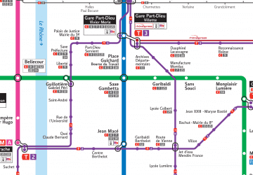
Metro
