Sèvres, Paris
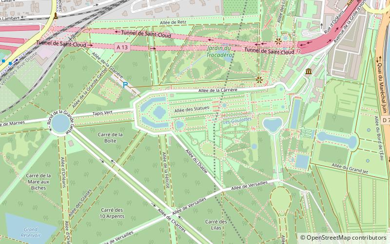
Map
Gallery
Facts and practical information
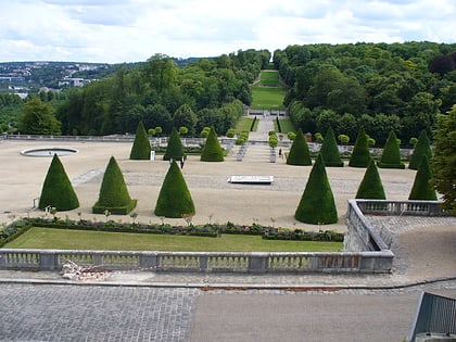
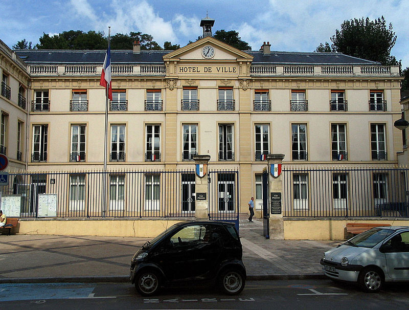
Sèvres is a commune in the southwestern suburbs of Paris, France. It is located 9.9 kilometres from the centre of Paris, in the Hauts-de-Seine department, Île-de-France region. The commune, which had a population of 23,251 as of 2018, is known for its famous porcelain production at the Manufacture nationale de Sèvres, which was also where the Treaty of Sèvres was signed. ()
Address
Sèvres (Europe Pierre Midrin)Paris
ContactAdd
Social media
Add
Day trips
Sèvres – popular in the area (distance from the attraction)
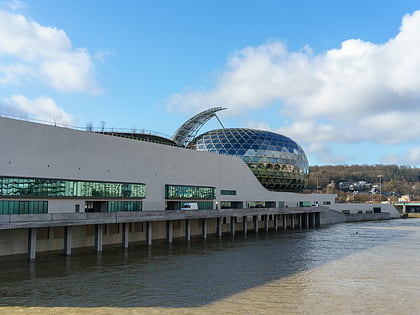
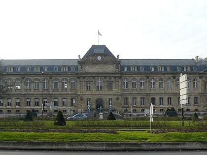
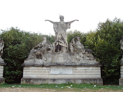
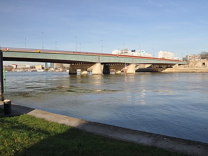
Nearby attractions include: La Seine Musicale, Sèvres – Cité de la céramique, France Crowning Art and Industry, Pont de Sèvres.
Frequently Asked Questions (FAQ)
Which popular attractions are close to Sèvres?
Nearby attractions include Sèvres – Cité de la céramique, Paris (18 min walk), Pont de Sèvres, Paris (21 min walk), Parc de Saint-Cloud, Paris (23 min walk), France Crowning Art and Industry, Boulogne-Billancourt (24 min walk).
How to get to Sèvres by public transport?
The nearest stations to Sèvres:
Bus
Train
Tram
Metro
Bus
- Place du Théâtre - Marché Saint-Romain • Lines: 426, 469 (1 min walk)
- Marché Saint-Romain • Lines: 171 (2 min walk)
Train
- Sèvres-Rive-Gauche (6 min walk)
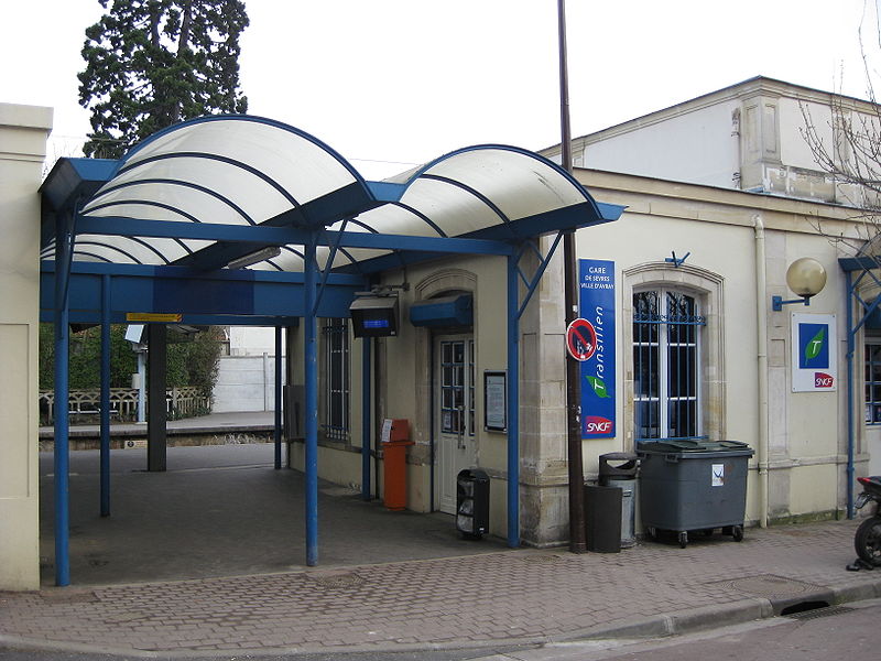
- Sèvres Ville-d'Avray (14 min walk)
Tram
- Musée de Sèvres • Lines: T2 (20 min walk)
- Brimborion • Lines: T2 (24 min walk)
Metro
- Pont de Sèvres • Lines: 9 (26 min walk)


 Metro
Metro