Moukalaba-Doudou National Park
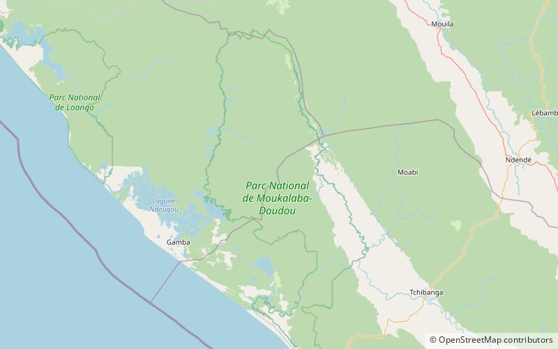
Map
Gallery
Facts and practical information
Moukalaba-Doudou National Park is a national park in Gabon. It covers an area of 4,500 km2. The national park includes various habitat types, including humid rain forest and savannah grasslands. ()
Local name: Parc national de Moukalaba-Doudou Elevation: 886 ft a.s.l.Coordinates: 2°27'19"S, 10°24'55"E
Location
Nyanga
ContactAdd
Social media
Add
Best Ways to Experience the Park
Wildlife
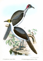
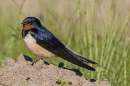
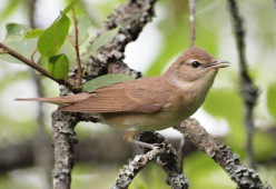
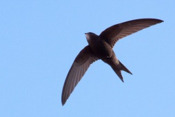
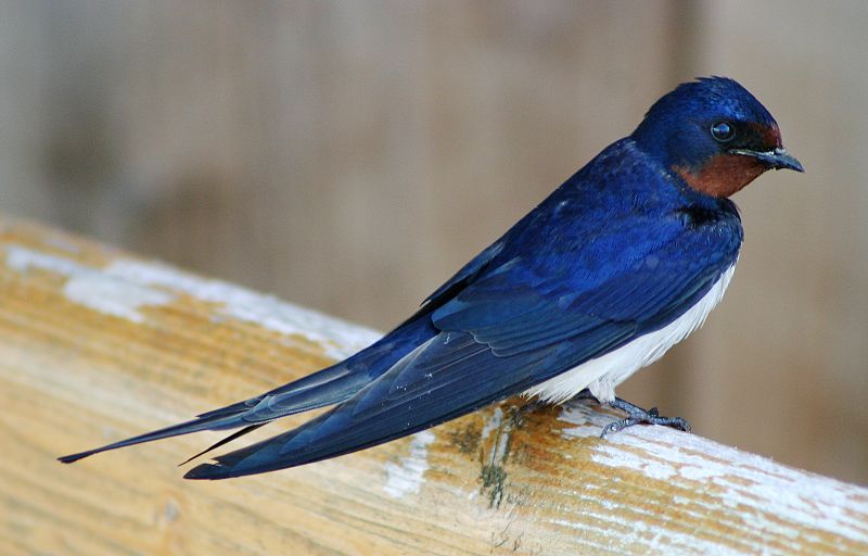
AnimalsSee what popular animal species you can meet in this location.
More
Show more

