Kunkilling Forest Park

Map
Facts and practical information
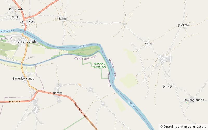
Kunkilling Forest Park is a forest park in the Gambia. Established on January 1, 1954, it covers 142 hectares. ()
Area: 54.83 mi²Elevation: 46 ft a.s.l.Coordinates: 13°31'25"N, 14°42'36"W
Location
Maccarthy Island
ContactAdd
Social media
Add
Day trips
Kunkilling Forest Park – popular in the area (distance from the attraction)
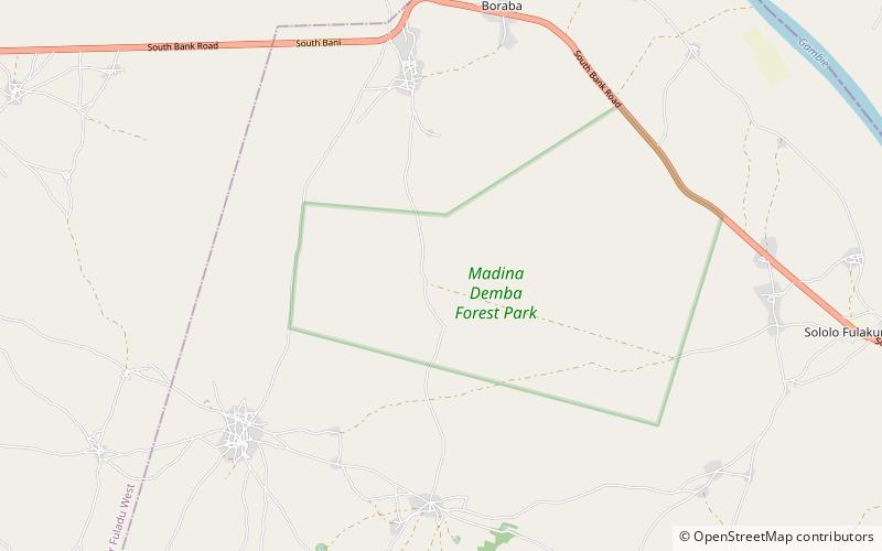
Nearby attractions include: Madina Demba Forest Park, Janjanbureh.

