Adenta Municipal District, Accra
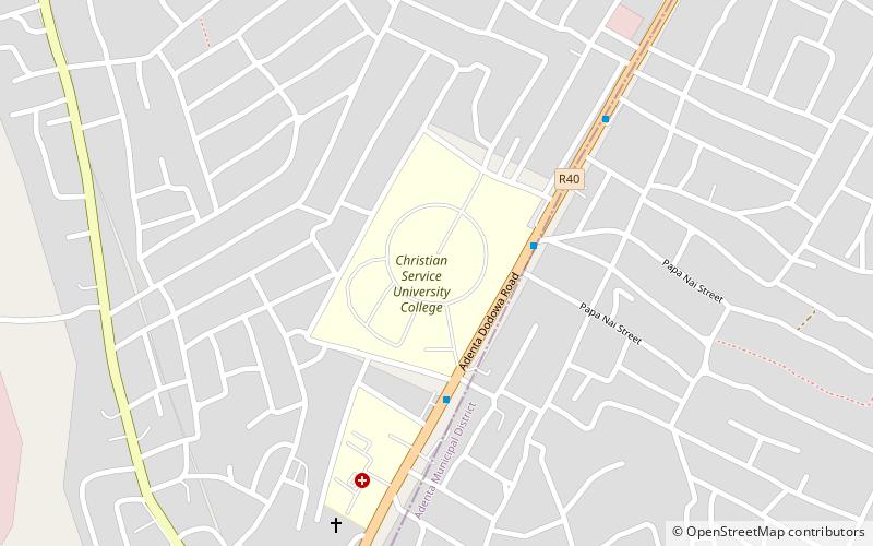
Map
Facts and practical information
Adenta Municipal District is one of the twenty-nine districts in Greater Accra Region, Ghana. Originally it was formerly part of the then-larger Tema Municipal District, which was created from the former Tema District Council, until two parts of the district were later split off to create Adenta Municipal District and Ashaiman Municipal District respectively on 29 February 2008; thus the remaining part was elevated to metropolitan district assembly status on that same year to become Tema Metropolitan District. The municipality is located in the central part of Greater Accra Region and has Adenta East as its capital town. ()
Address
Accra
ContactAdd
Social media
Add
Getting there by public transportation
Public transportation stops near this location
- Bus
 Bus
Bus
- Calculate routeAdenta Barrier 3 min walk
- Calculate routeAdenta Taxi Rank 3 min walk
- Calculate routeTaxi Rank 4 min walk
- Calculate routeWass 5 min walk
Day trips


Frequently Asked Questions (FAQ)
How to get to Adenta Municipal District by public transport?
The nearest stations to Adenta Municipal District:
Bus
Bus
- Adenta Barrier • Lines: 275, 333, 525, 526, 81 (3 min walk)
- Adenta Taxi Rank (3 min walk)