Ledzokuku Municipal District, Accra
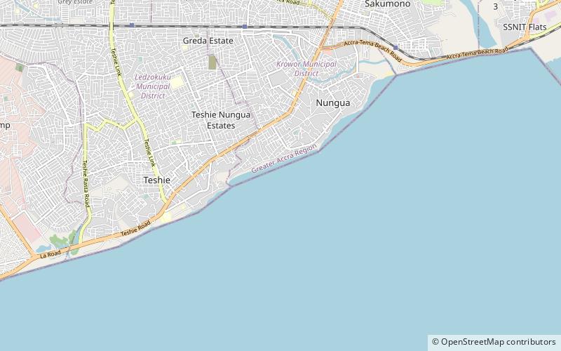
Map
Facts and practical information
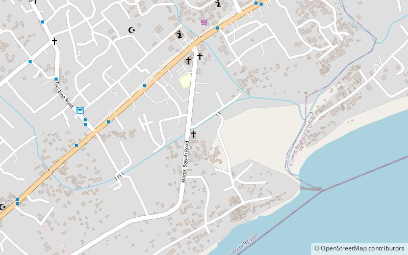
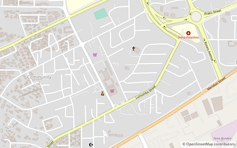
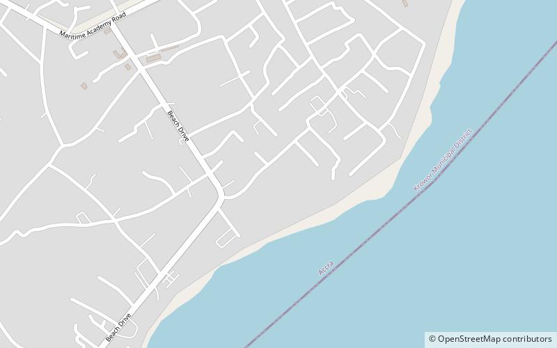
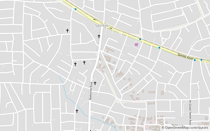
Ledzokuku Municipal District is one of the twenty-nine districts in Greater Accra Region, Ghana. Originally it was formerly part of the defunct Ledzokuku-Krowor Municipal District on 29 February 2008, until part of the district was split off to create Krowor Municipal District on 15 March 2018; thus the remaining part has been renamed as Ledzokuku Municipal District. The municipality is located in the central part of Greater Accra Region and has Teshie-Nungua as its capital town. ()
Coordinates: 5°34'60"N, 0°4'60"W
Address
Accra
ContactAdd
Social media
Add
Day trips
Ledzokuku Municipal District – popular in the area (distance from the attraction)
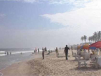
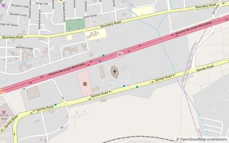
Nearby attractions include: La Pleasure Beach, A&C Mall, Action Chapel International, La Dade Kotopon Municipal District.
Frequently Asked Questions (FAQ)
How to get to Ledzokuku Municipal District by public transport?
The nearest stations to Ledzokuku Municipal District:
Bus
Bus
- Brigade • Lines: 118, 23, 424, 425, 469 (22 min walk)
- Cold Store • Lines: 118, 23, 424, 425, 469 (23 min walk)
