Alimia

Gallery (2)
Map
Map
Gallery
Facts and practical information
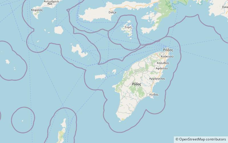
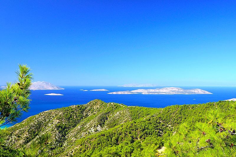
Alimia or Alimnia is a Greek island of the Aegean Sea, located in the sea area between Rhodes and Halki, the complex of Dodecanese. The surface of the island is 7.4 square kilometres and has a coastline of 21 kilometres. The island had a small population until the period of the Second World War, and in recent decades has remained uninhabited. ()
Location
Aegean
ContactAdd
Social media
Add
Day trips
