Aglaureion, Athens
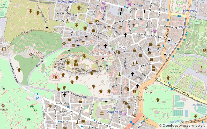
Map

Map

Facts and practical information
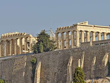
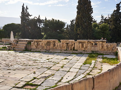
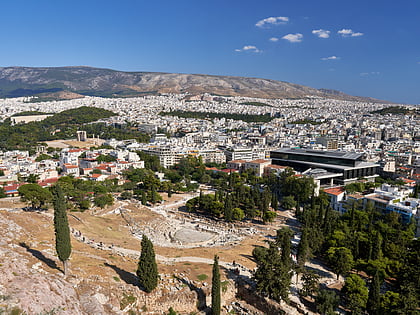
The Aglaureion was a shrine to Aglauros on the Acropolis of Athens. ()
Address
Αθήνα 1 (Ακρόπολης)Athens
ContactAdd
Social media
Add
Day trips
Aglaureion – popular in the area (distance from the attraction)
Nearby attractions include: Acropolis, Parthenon, Choragic Monument of Thrasyllos, Erechtheion.
Frequently Asked Questions (FAQ)
Which popular attractions are close to Aglaureion?
Nearby attractions include Pandion, Athens (2 min walk), Anakeion, Athens (2 min walk), Anafiotika, Athens (2 min walk), Choragic Monument of Thrasyllos, Athens (2 min walk).
How to get to Aglaureion by public transport?
The nearest stations to Aglaureion:
Metro
Bus
Trolleybus
Tram
Train
Metro
- Akropoli • Lines: Μ2 (6 min walk)
- Monastiraki • Lines: Μ1, Μ3 (10 min walk)
Bus
- Μητροπολη • Lines: 025 (8 min walk)
- Φιλελληνων • Lines: 040 Συνταγμα - Πειραιασ, 209, 227, 790 (8 min walk)
Trolleybus
- Φιλελληνων • Lines: 1, 11, 12, 15, 2, 4, 5 (8 min walk)
- Μακρυγιαννη • Lines: 1, 15, 5 (8 min walk)
Tram
- Βουλιαγμένης • Lines: Τ4, Τ5 (10 min walk)
- Syntagma • Lines: Τ4, Τ5 (11 min walk)
Train
- Lycabettus Hill Funicular - Lower Station (27 min walk)
- Lycabettus Hill Funicular - Top Station (28 min walk)


