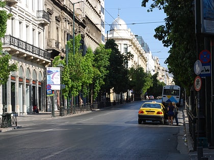
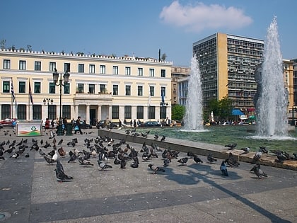
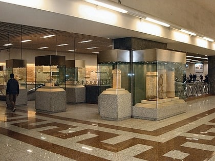
Klafthmonos Square, Athens
Map
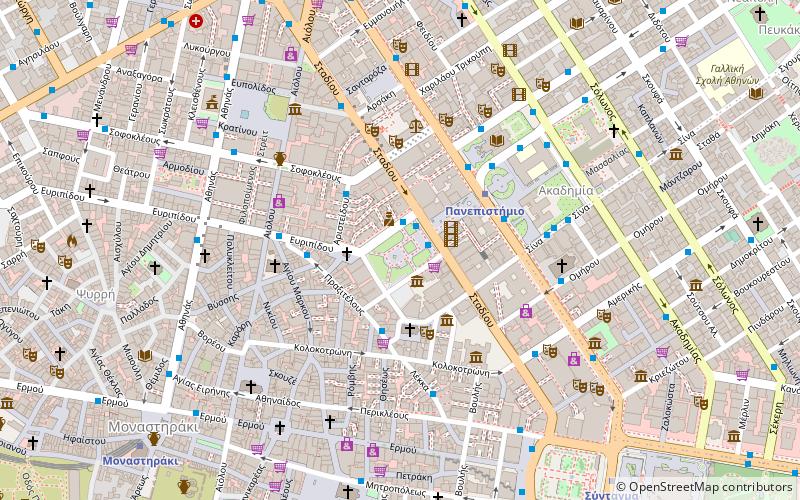
Map

Facts and practical information
Klafthmonos Square is a central Athens square around which the homonymous district was developed.
Elevation: 302 ft a.s.l.Coordinates: 37°58'46"N, 23°43'52"E
Address
Αθήνα 1 (Ομόνια)Athens
ContactAdd
Social media
Add
Day trips
Klafthmonos Square – popular in the area (distance from the attraction)
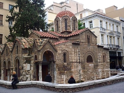
Nearby attractions include: Voukourestiou Street, Ermou Street, Stadiou Street, Numismatic Museum.
Frequently Asked Questions (FAQ)
Which popular attractions are close to Klafthmonos Square?
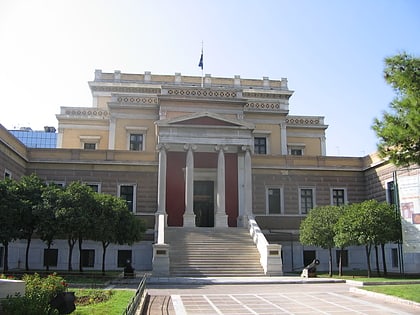
Nearby attractions include Athens City Museum, Athens (2 min walk), Stadiou Street, Athens (2 min walk), Panepistimiou Street, Athens (3 min walk), Old Parliament House, Athens (4 min walk).
How to get to Klafthmonos Square by public transport?
The nearest stations to Klafthmonos Square:
Bus
Trolleybus
Metro
Tram
Train
Bus
- Κλαυθμώνοσ • Lines: 025 (1 min walk)
- Klavthmonos • Lines: 227, 790, 856 (1 min walk)
Trolleybus
- Πλ.κλαυθμωνοσ • Lines: 1, 15, 5 (1 min walk)
- Klavthmonos • Lines: 11, 12, 2, 4 (2 min walk)
Metro
- Panepistimio • Lines: Μ2 (4 min walk)
- Omonia Metro • Lines: Μ1, Μ2 (10 min walk)
Tram
- Syntagma • Lines: Τ4, Τ5 (11 min walk)
- Ζαππειο • Lines: Τ4, Τ5 (20 min walk)
Train
- Lycabettus Hill Funicular - Top Station (18 min walk)
- Lycabettus Hill Funicular - Lower Station (18 min walk)


