Akadimias Street, Athens
Map
Gallery
Facts and practical information
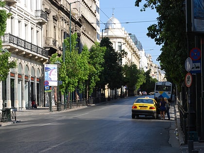
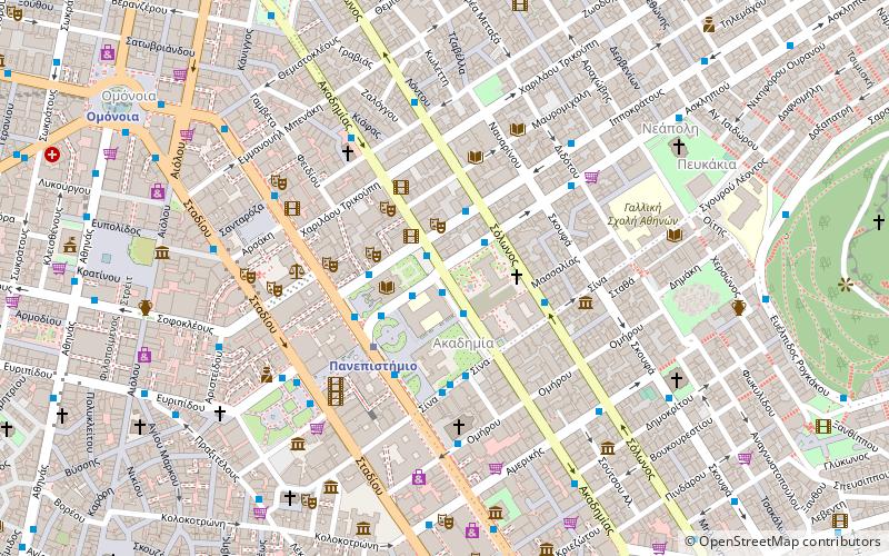
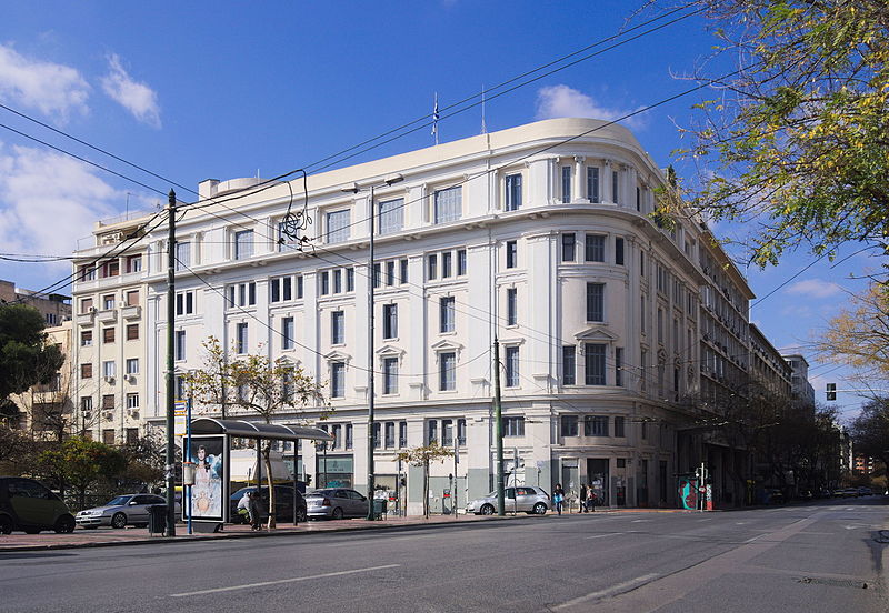
Akadimias Street is a major street in Athens that runs parallel to Panepistimiou Street and Stadiou Street from Vassilissis Sofias Avenue, in Kolonaki district, to Kanningos Square in the area of Exarcheia. Its total length is about 1.2 km. It has three lanes and runs almost diagonally from southeast to northwest. During World War II, it was officially renamed Roosevelt Street in honour of the US President Franklin Roosevelt, but the Athenians continued to refer to it by its original name. ()
Address
Αθήνα 1 (Athena 1)Athens
ContactAdd
Social media
Add
Day trips
Akadimias Street – popular in the area (distance from the attraction)
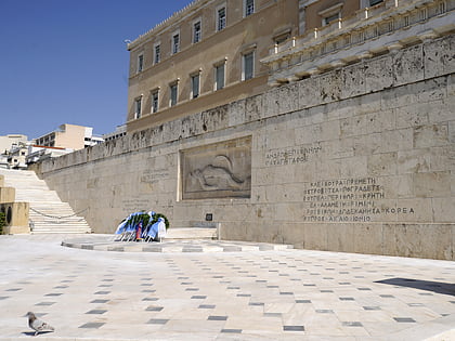
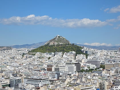
Nearby attractions include: Voukourestiou Street, Tomb of the Unknown Soldier, Stadiou Street, Mount Lycabettus.
Frequently Asked Questions (FAQ)
Which popular attractions are close to Akadimias Street?
Nearby attractions include Academy of Athens, Athens (2 min walk), Parko Ellenon Logotechnon, Athens (2 min walk), City of Athens Cultural Center, Athens (2 min walk), Theatrical Museum of Greece, Athens (2 min walk).
How to get to Akadimias Street by public transport?
The nearest stations to Akadimias Street:
Bus
Trolleybus
Metro
Tram
Train
Bus
- Ακαδημιασ • Lines: 025, 100, 203, 214 (1 min walk)
- Σολωνοσ • Lines: 025 (2 min walk)
Trolleybus
- Ακαδημιασ • Lines: 3 (1 min walk)
- Ιπποκρατουσ • Lines: 6 (3 min walk)
Metro
- Panepistimio • Lines: Μ2 (3 min walk)
- Omonia Metro • Lines: Μ1, Μ2 (11 min walk)
Tram
- Syntagma • Lines: Τ4, Τ5 (13 min walk)
- Ζαππειο • Lines: Τ4, Τ5 (22 min walk)
Train
- Lycabettus Hill Funicular - Top Station (13 min walk)
- Lycabettus Hill Funicular - Lower Station (14 min walk)


