Plaka, Athens
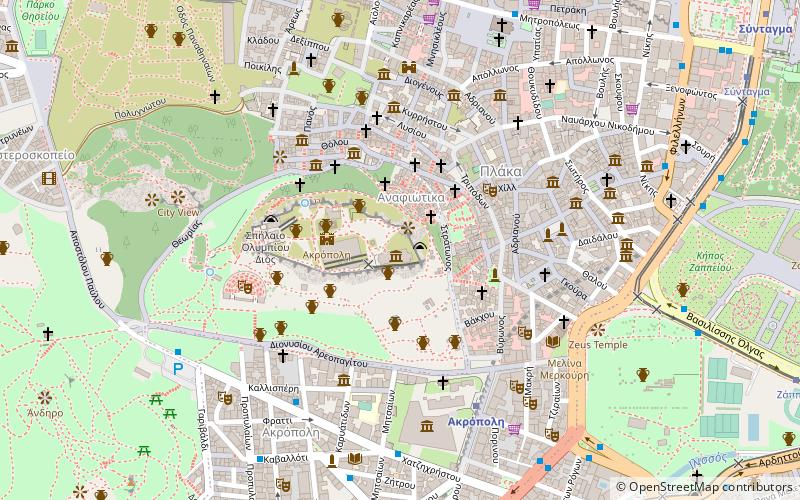
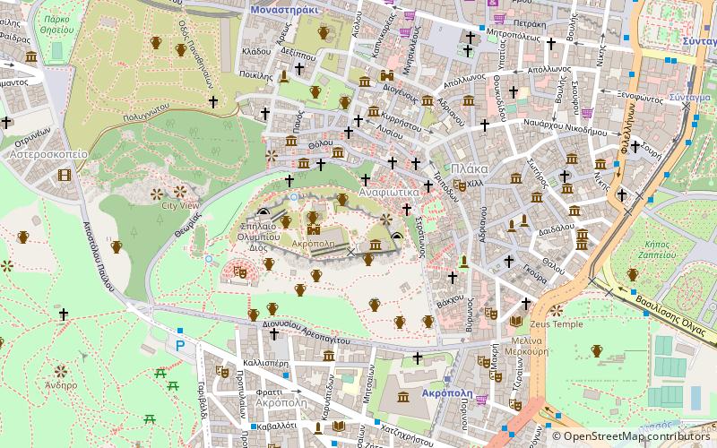
Map
Gallery
Facts and practical information
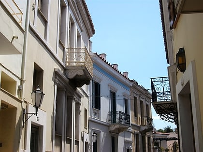
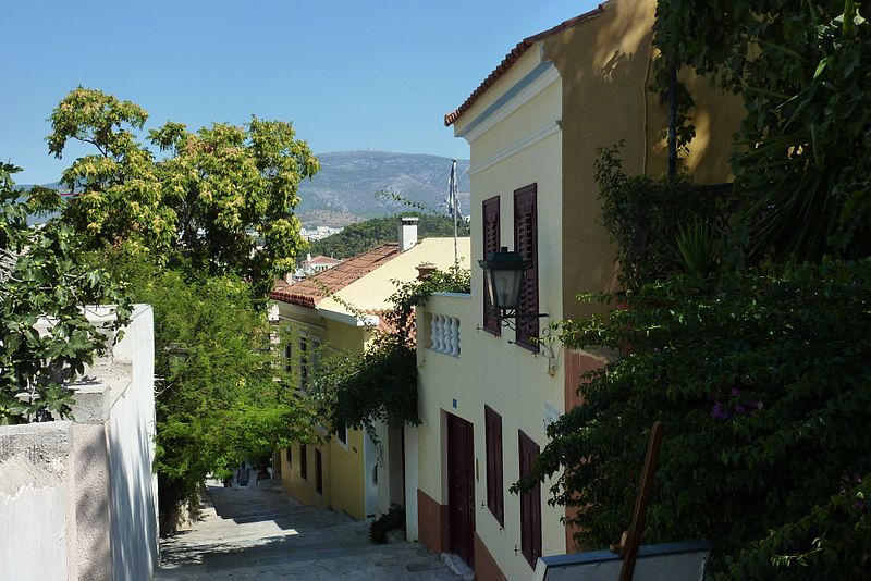
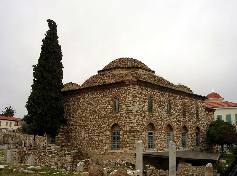
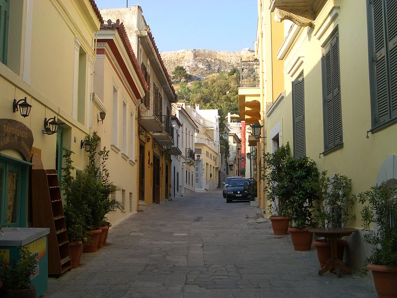
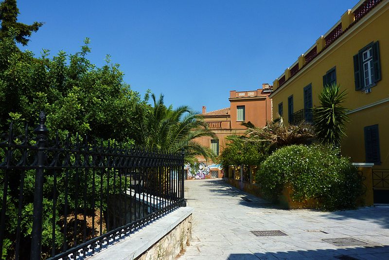
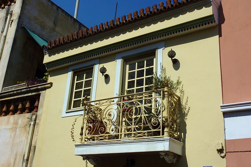
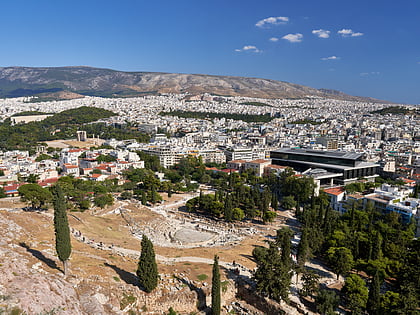
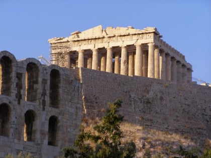
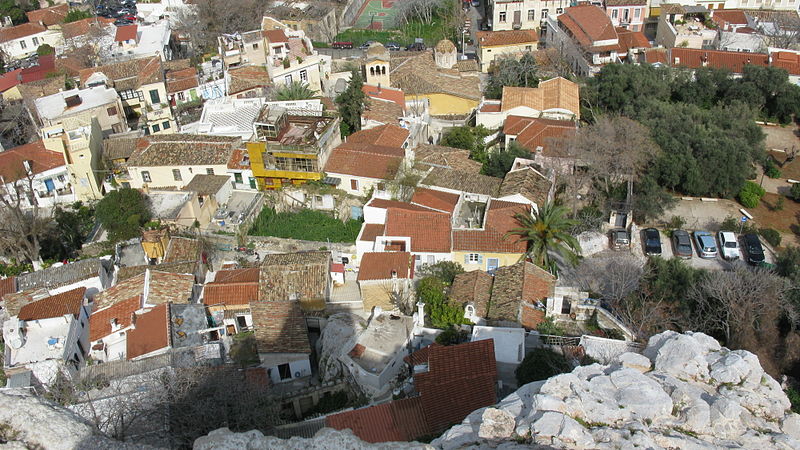
Pláka is the old historical neighborhood of Athens, clustered around the northern and eastern slopes of the Acropolis, and incorporating labyrinthine streets and neoclassical architecture. Plaka is built on top of the residential areas of the ancient town of Athens. It is known as the "Neighborhood of the Gods" due to its proximity to the Acropolis and its many archaeological sites. ()
Day trips
Plaka – popular in the area (distance from the attraction)
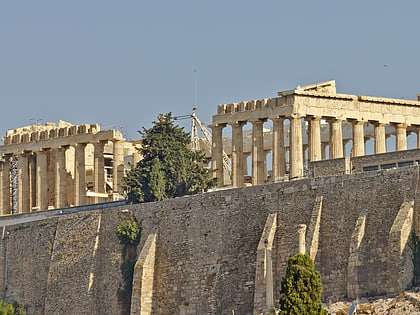
Nearby attractions include: Parthenon, Choragic Monument of Thrasyllos, Tower of the Winds, Erechtheion.
Frequently Asked Questions (FAQ)
Which popular attractions are close to Plaka?
Nearby attractions include Hellenic Children's Museum, Athens (3 min walk), Holy Unmercenaries, Athens (3 min walk), Anafiotika, Athens (3 min walk), Aglaureion, Athens (3 min walk).
How to get to Plaka by public transport?
The nearest stations to Plaka:
Bus
Trolleybus
Metro
Tram
Train
Bus
- Μητροπολη • Lines: 025 (5 min walk)
- Φιλελληνων • Lines: 040 Συνταγμα - Πειραιασ, 209, 227, 790 (5 min walk)
Trolleybus
- Φιλελληνων • Lines: 1, 11, 12, 15, 2, 4, 5 (5 min walk)
- Ζαππειο • Lines: 1, 15, 5 (7 min walk)
Metro
- Akropoli • Lines: Μ2 (8 min walk)
- Syntagma • Lines: Μ2, Μ3 (9 min walk)
Tram
- Syntagma • Lines: Τ4, Τ5 (8 min walk)
- Ζαππειο • Lines: Τ4, Τ5 (11 min walk)
Train
- Lycabettus Hill Funicular - Lower Station (24 min walk)
- Lycabettus Hill Funicular - Top Station (25 min walk)
