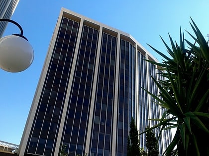
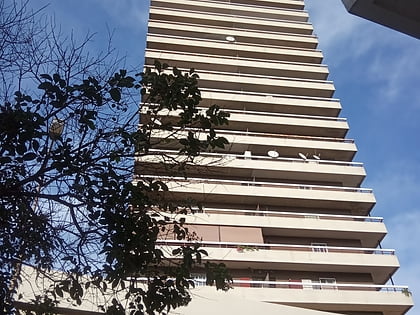
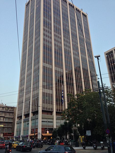
Athens Towers, Athens
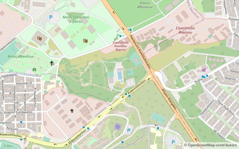
Map

Gallery
Facts and practical information
Local name: Πύργος Αθηνών Completed: 1971 (55 years ago)Height: 338 ftCoordinates: 37°59'5"N, 23°45'39"E
Address
Μεσογειων 2-4Ζωγράφου (Γουδί)Athens
ContactAdd
Social media
Add
Day trips
Athens Towers – popular in the area (distance from the attraction)
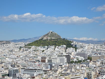
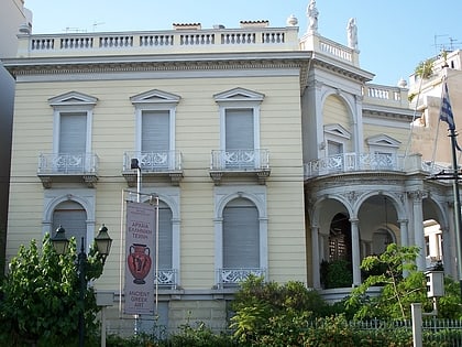
Nearby attractions include: Byzantine and Christian Museum, Mount Lycabettus, Apostolos Nikolaidis Stadium, Stathatos Mansion.
Frequently Asked Questions (FAQ)
Which popular attractions are close to Athens Towers?
Nearby attractions include Museum of Anthropology, Athens (9 min walk), Kountouriotika, Athens (10 min walk), Apostolos Nikolaidis Stadium, Athens (11 min walk), Ampelokipoi, Athens (11 min walk).
How to get to Athens Towers by public transport?
The nearest stations to Athens Towers:
Bus
Trolleybus
Metro
Train
Bus
- Γαλαξιασ • Lines: A5, Χ95 Συνταγμα - Αερολ. Αθηνων (2 min walk)
- Πλατεια Αμπελοκηπων • Lines: 550, A5, Χ14 Κηφισια - Συνταγμα, Χ95 Αερολ. Αθηνων (Express) - Συ (2 min walk)
Trolleybus
- Πλατεια Αμπελοκηπων • Lines: 3 (2 min walk)
- Athinaion • Lines: 3 (3 min walk)
Metro
- Ambelokipi • Lines: Μ3 (7 min walk)
- Megaro Mousikis Metro • Lines: Μ3 (15 min walk)
Train
- Lycabettus Hill Funicular - Top Station (25 min walk)
- Lycabettus Hill Funicular - Lower Station (25 min walk)
