Ilioupoli, Athens
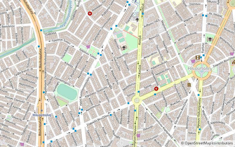
Map
Facts and practical information
Local name: Ηλιούπολη ΑττικήςCoordinates: 37°55'54"N, 23°45'0"E
Getting there by public transportation
Public transportation stops near this location
- Metro
- Bus
 Metro
Metro
- Calculate routeΒεακη 3 min walk
- Calculate routeΚαλβου 3 min walk
- Calculate routeΠΛ. 25ης ΜΑΡΤΙΟΥ 3 min walk
- Calculate routeΓυμναστηριο 3 min walk
- Calculate routeIlioupoli 9 min walk
- Calculate routeAgios Dimitrios 20 min walk
- Calculate routeAlimos 25 min walk
Day trips


Frequently Asked Questions (FAQ)
How to get to Ilioupoli by public transport?
The nearest stations to Ilioupoli:
Bus
Metro
Bus
- Βεακη • Lines: 201 (3 min walk)
- Καλβου • Lines: 201 (3 min walk)
Metro
- Ilioupoli • Lines: Μ2 (9 min walk)
- Agios Dimitrios • Lines: Μ2 (20 min walk)