Stavroupoli, Thessaloniki
Map
Gallery
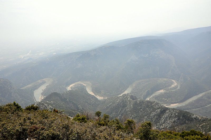
Facts and practical information
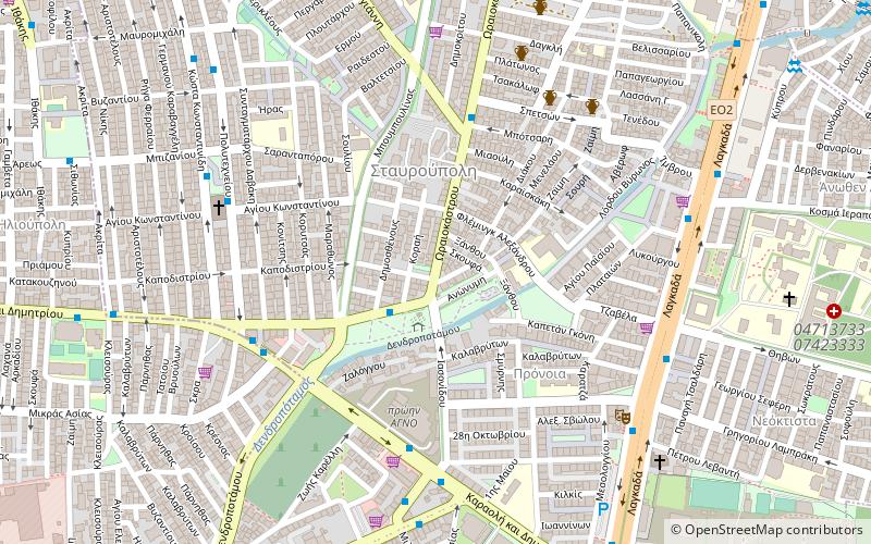
Stavroupoli is a suburb of the Thessaloniki Urban Area and was a former municipality in the regional unit of Thessaloniki, Greece. Since the 2011 local government reform it has been part of the municipality Pavlos Melas, of which it is the seat and a municipal unit. The population at the 2011 census was 46,008. The municipal unit has an area of 3.175 km2. Stavroupoli is located northwest of Thessaloniki's city centre. ()
Day trips
Stavroupoli – popular in the area (distance from the attraction)
Nearby attractions include: Hagios Demetrios, State Museum of Contemporary Art, Zeitenlik, Church of Hosios David.
Frequently Asked Questions (FAQ)
Which popular attractions are close to Stavroupoli?
Nearby attractions include State Museum of Contemporary Art, Thessaloniki (16 min walk), Zeitenlik, Thessaloniki (23 min walk).
How to get to Stavroupoli by public transport?
The nearest stations to Stavroupoli:
Bus
Bus
- Διασταυρωση A • Lines: 34 (6 min walk)
- Αγνο • Lines: 18, 1Α, 32, 34 (6 min walk)
