Vlatades Monastery, Thessaloniki
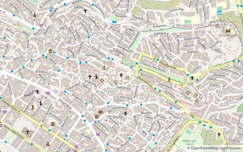
Map

Map

Facts and practical information
Vlatades Monastery or Vlatadon Monastery is a monastery in Ano Poli, Thessaloniki, Greece. Built in the 14th century during the late era of the Byzantine Empire, it is a UNESCO World Heritage Site, one of the 15 in the city. ()
Local name: Μονή Βλατάδων Unesco: from 1988Area: 2.87 acres (0.0045 mi²)Architectural style: Byzantine architectureCoordinates: 40°38'30"N, 22°57'16"E
Address
Επταπυργίου 64Θεσσαλονίκη (Ana Πόλις)Thessaloniki 546 34
Contact
+30 231 020 9913
Social media
Add
Day trips
Vlatades Monastery – popular in the area (distance from the attraction)
Nearby attractions include: Hagios Demetrios, Hagia Sophia, Atatürk Museum, Rotunda.
Frequently Asked Questions (FAQ)
Which popular attractions are close to Vlatades Monastery?
Nearby attractions include Upper Town, Thessaloniki (3 min walk), Church of Hosios David, Thessaloniki (4 min walk), Byzantine Bath, Thessaloniki (4 min walk), Walls of Thessaloniki, Thessaloniki (5 min walk).
How to get to Vlatades Monastery by public transport?
The nearest stations to Vlatades Monastery:
Bus
Metro
Ferry
Bus
- Πλατανοσ • Lines: 23 (2 min walk)
- Ιδρυμα • Lines: 23 (3 min walk)
Metro
- Αγίας Σοφίας • Lines: Βασική Γραμμή Μετρό, Γραμμή Μετρό Καλαμαριάς (17 min walk)
- Βενιζέλου • Lines: Βασική Γραμμή Μετρό, Γραμμή Μετρό Καλαμαριάς (19 min walk)
Ferry
- Thessaloniki (32 min walk)


