Vrontisi Monastery

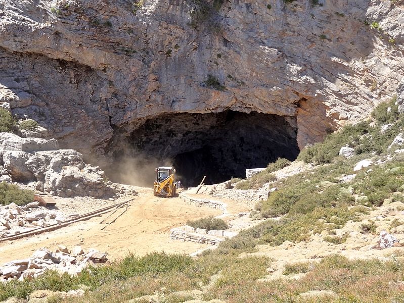
Gallery (2)
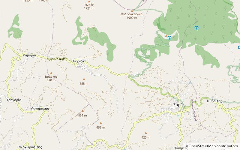
Map
Map
Gallery
Facts and practical information
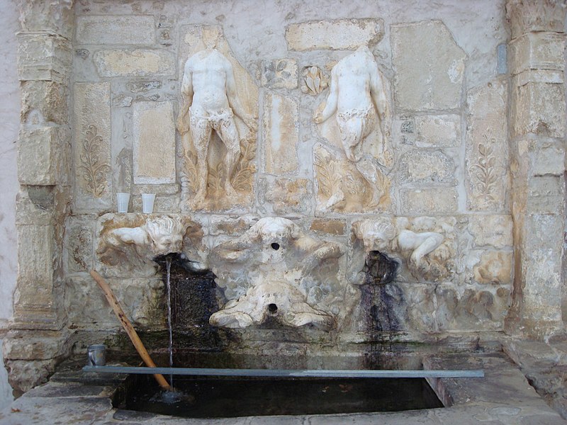
Vrontisi Monastery is a 14th-century Eastern Orthodox monastery situated between the villages of Zaros and Vorizia of the Heraklion regional unit in south-central Crete, Greece. The monastery is roughly 50 km southwest of Heraklion and is built at an altitude of 550 m on the south slopes of Mt. Ida, having a panoramic view of the Mesara Plain and the Asterousia Mountains. The origin of its name is not clear; according to the prevailing explanation it was named after its founder whose surname was Vrontisis. ()
Local name: Μονή Αγίου Αντωνίου Βροντησίου Established: XIV centuryCoordinates: 35°8'37"N, 24°52'15"E
Location
Crete
ContactAdd
Social media
Add
Day trips