Douneika

Map
Facts and practical information
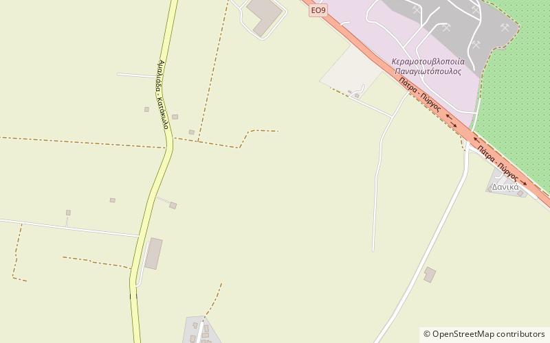
Douneika is a village and a community in the southern part of the municipal unit of Amaliada in Elis, Greece. It is situated near the Ionian Sea coast, 3 km south of Kardamas, 4 km northwest of Myrtia, 4 km west of Alpochori and 6 km south of Amaliada. The Greek National Road 9/E55 passes northeast of the village. The community consists of the villages Douneika, Agia Marina, Danika and Kato Kertezeika. ()
Coordinates: 37°45'0"N, 21°19'60"E
Location
Peloponnese, Western Greece and the Ionian Islands
ContactAdd
Social media
Add
Day trips
Douneika – popular in the area (distance from the attraction)
Nearby attractions include: Amaliada, Pyrgos Stadium.

