Kokkines Plakes
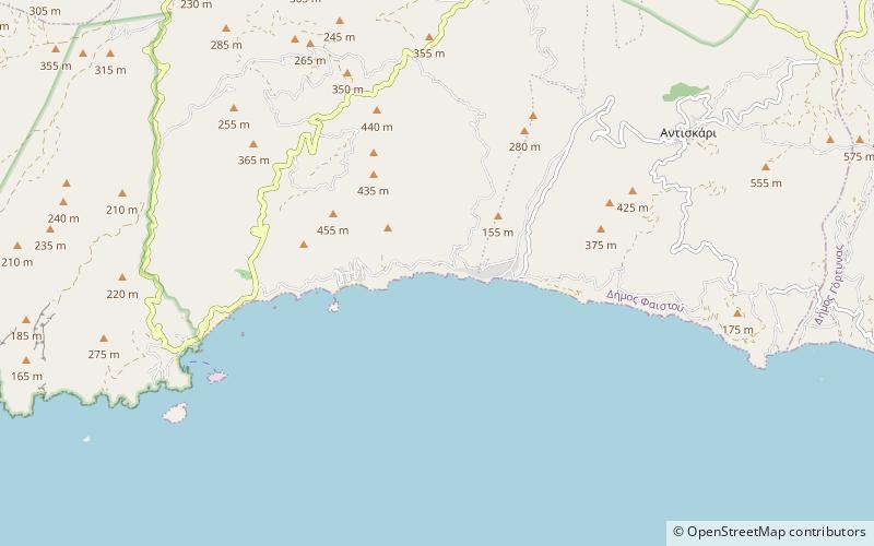
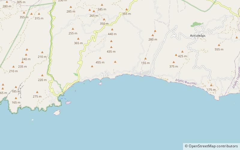
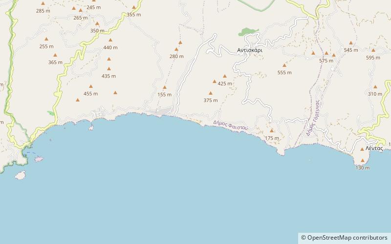
Map
Facts and practical information
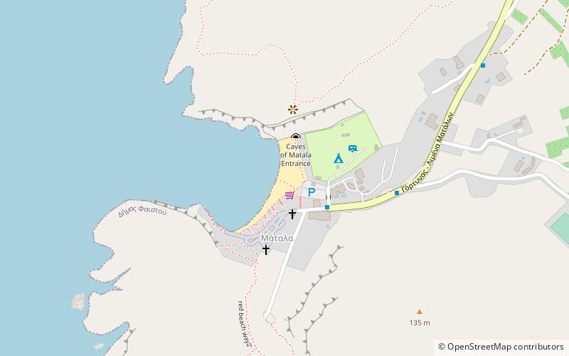
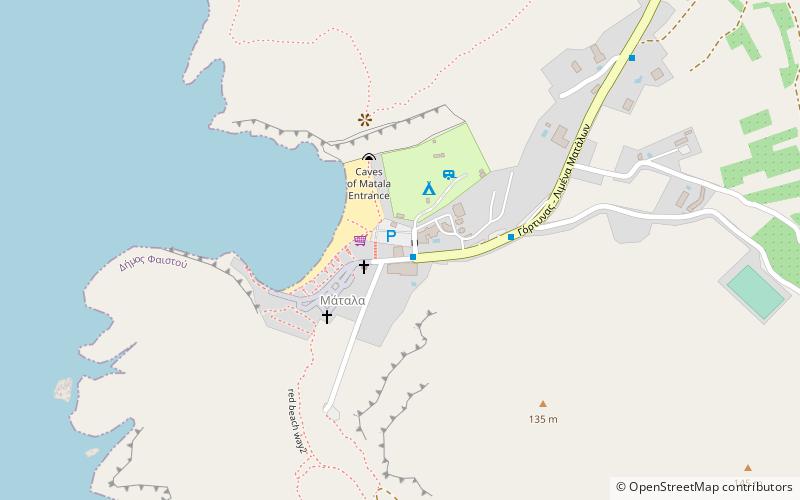
Kokkines Plakes is a place located in Greece and belongs to the category of beach.
It is situated at an altitude of 26 feet, and its geographical coordinates are 34°56'27"N latitude and 24°50'27"E longitude.
Among other places and attractions worth visiting in the area are: Macha (beach, 8 min walk), Trafos (island, 25 min walk), Psili Ammos (beach, 30 min walk).
Coordinates: 34°56'27"N, 24°50'27"E
Location
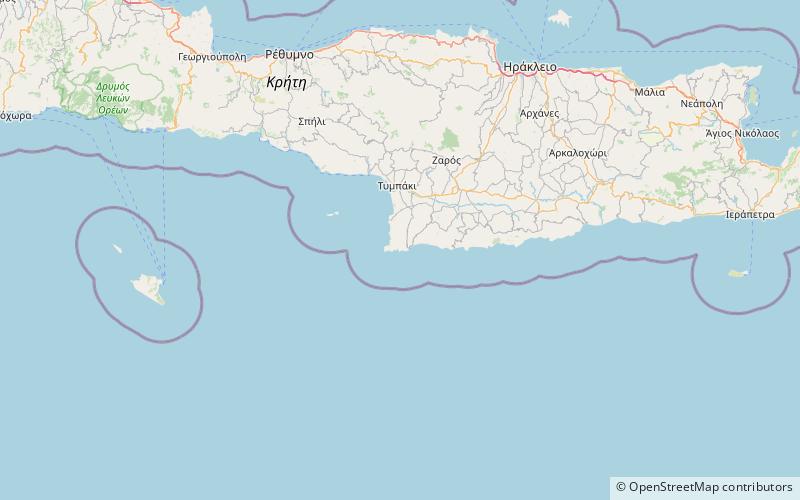
Crete
ContactAdd
Social media
Add
Day trips