Dokos

Gallery (1)
Map
Map
Facts and practical information
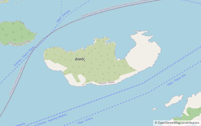
Dokos is a small Greek island of the Argo-Saronic Gulf, adjacent to Hydra, and separated from the Peloponnese by a narrow strait called, on some maps, "the Hydra Gulf." It is part of the municipality of Ýdra in Islands regional unit and reported a population of 18 persons at the 2011 census. The island is populated only by some Orthodox monks and perennial sheep herders. The island is rocky, reaching a height of 308 metres. During the ancient times it was called Aperopia. ()
Local name: Δοκός Ύδρας Area: 5.23 mi²Archipelago: Saronic IslandsCoordinates: 37°19'59"N, 23°19'17"E
Location
Attica
ContactAdd
Social media
Add
Day trips
Dokos – popular in the area (distance from the attraction)
Nearby attractions include: Ermioni.
