Praitori
Map
Facts and practical information
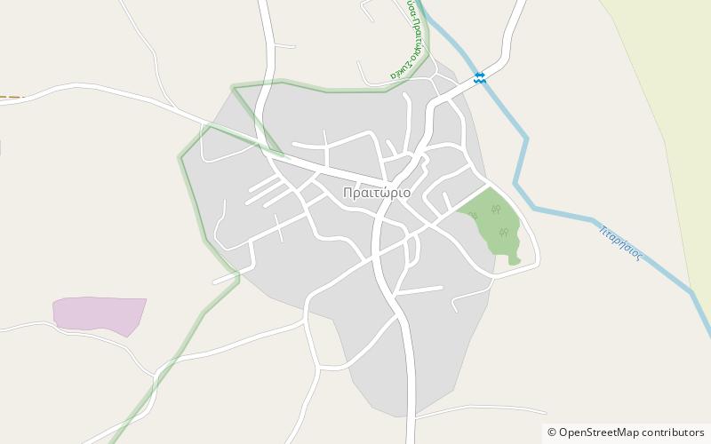
Praitori is a village and a community of the Elassona municipality. Before the 2011 local government reform it was a part of the municipality of Potamia, of which it was a municipal district. The 2011 census recorded 362 inhabitants in the village. The community of Praitori covers an area of 14.957 km2. ()
Coordinates: 39°47'30"N, 22°3'54"E
Location
Thessaly and Central Greece
ContactAdd
Social media
Add
Day trips
Praitori – popular in the area (distance from the attraction)
Nearby attractions include: Domeniko, Verdikoussa, Vlachogianni, Magoula.
